This is a popup dialog that overlays the main content of the page. The popup includes a search form to help you find the information you are seeking. Pressing the close button or using the escape key will close the popup.
Grand Canyon Trust Blog
Get the latest updates on the issues you care about. With our Grand Canyon blog RSS feed, you never miss a post. Sign up
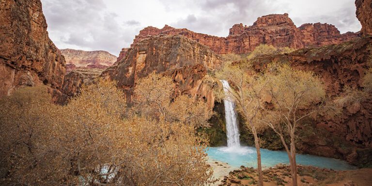
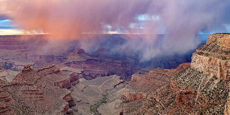
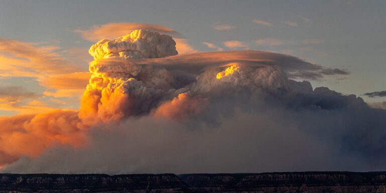
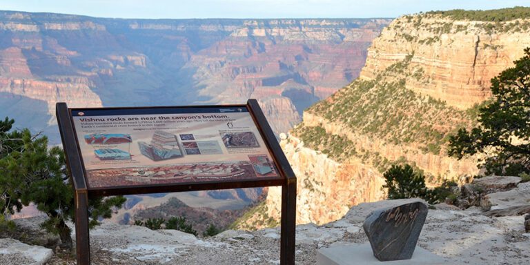
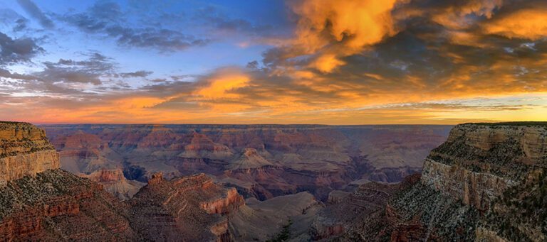
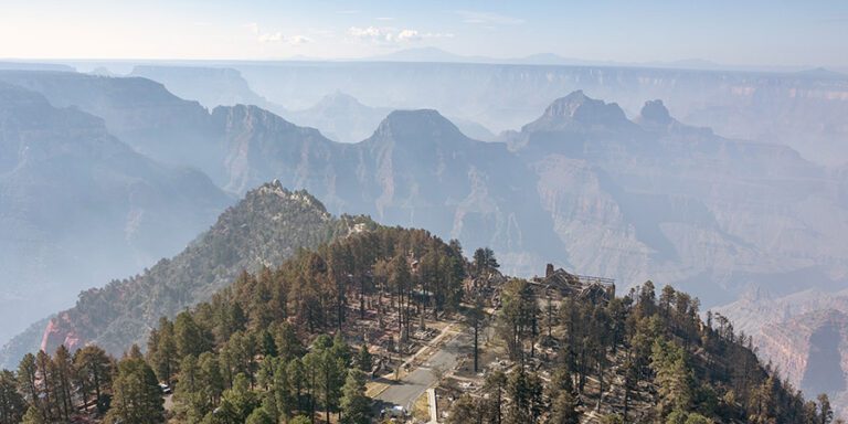
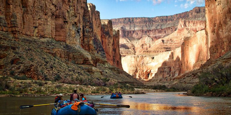
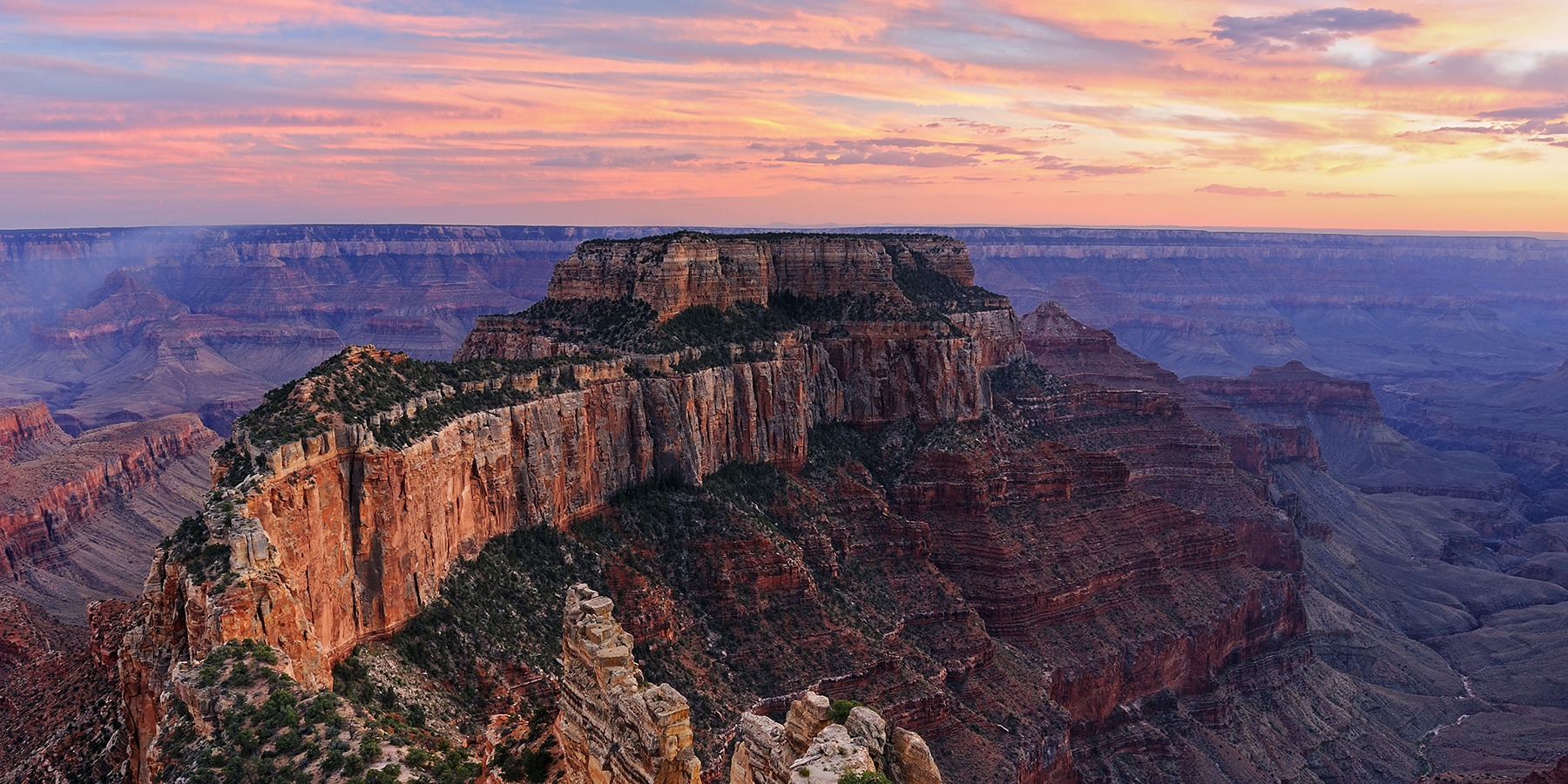
In the summer of 2025, fires raged across the north rim of the Grand Canyon. Now that the smoke has lifted, what does the future hold for the national park?
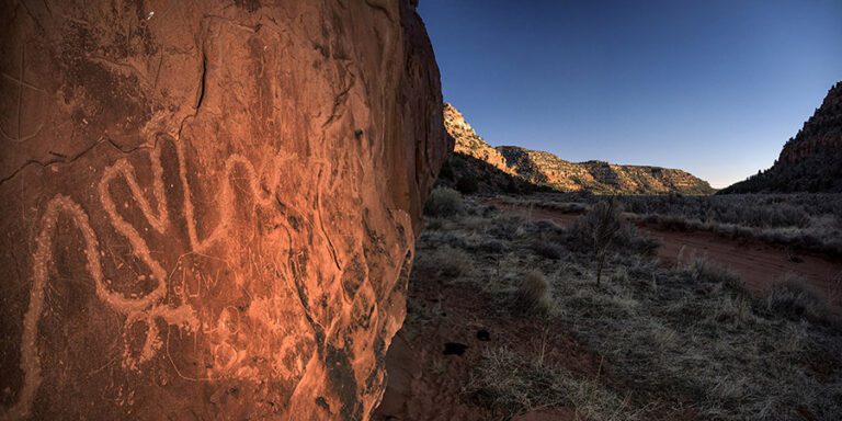
In a victory for Grand Canyon tribes and Arizona voters, a federal court has dismissed a lawsuit attacking Baaj Nwaavjo I’tah Kukveni – Ancestral Footprints of the Grand Canyon National Monument.
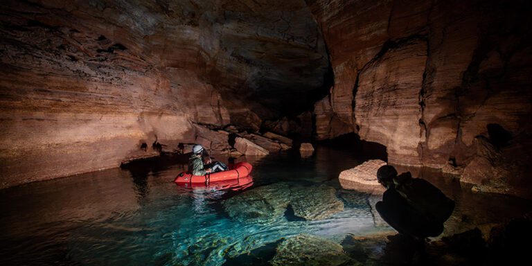
As uranium prices rise, the mining company that operates Pinyon Plain uranium mine near the Grand Canyon hopes to profit by developing at least one other mine in the Grand Canyon region.
From Arches, to Canyonlands, to Mesa Verde, materials about Native history, science, and climate change in national parks across the Colorado Plateau are targeted for federal review.
Grand Canyon wildfires burned across more than 200,000 acres in 2025. Now local communities are looking ahead at recovery and rebuilding on the North Rim.