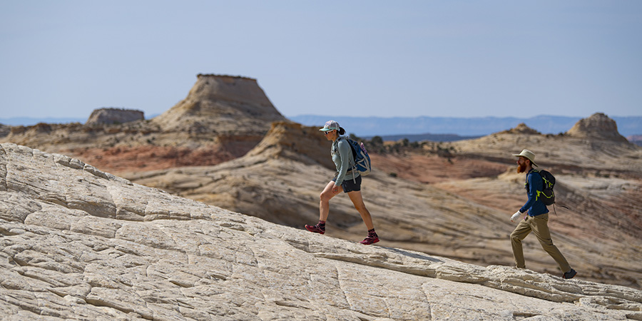
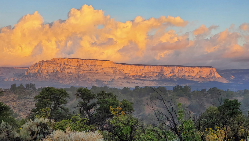
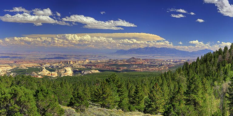
Grand Staircase-Escalante National Monument is known for its staircase, a series of colorful rock layers that step up through geologic time.
Grand Staircase-Escalante National Monument is a vast 1.87 million acre wonderland of winding slot canyons, sweeping arches, and towering rock formations in southern Utah. Cultural sites tucked among the rocks affirm the deep connections Native peoples have to their ancestral lands here.
Tourists often overlook Grand Staircase, flocking instead to nearby Zion or Bryce Canyon national parks, but Grand Staircase is packed full of adventure (think hiking trails, canyoneering routes, and backcountry camping).
It’s also a geologic marvel. Sculpted over millions of years, the rock layers hold clues to ancient lifeforms — from dinosaur fossils to rare prehistoric turtles — that once called Grand Staircase home.
Why is it called Grand Staircase?
The monument is known for its “staircase,” a series of colorful rock layers that step up from the Grand Canyon in the south to Bryce Canyon in the north.
Rising more than 6,000 vertical feet and extending over 100 miles, well beyond the boundaries of Grand Staircase-Escalante National Monument, each gigantic step is an exposed cliff edge “riser” and plateau, terrace, or bench “tread,” in bands of chocolate browns, brilliant reds, and fiery oranges.
The bottom of the staircase (the base tread) is Kaibab Limestone, which corresponds to the top rock layer on the north rim of the Grand Canyon. The rocks become younger as you climb the steps up through nearly 270 million years of geologic history, from the bottom of what were once shallow seas, hot, wet swamps, and rippling desert sand dunes.
The Grand Staircase steps, from oldest to youngest:
Chocolate Cliffs
The Chocolate Cliffs are a swath of sweet red-brown rock sloping north of the Grand Canyon in Arizona. Made up of the Moenkopi and Chinle formations, these sandstones, siltstones, and mudstones were deposited around 240 million years ago, when the landscape shifted between lazy rivers and ocean tidal flats. If you’re out in the Chocolate Cliffs, keep your eyes peeled for petrified wood — driftwood left on river floodplains that filled with minerals and turned to stone — often preserved in its original shape.
Vermilion Cliffs
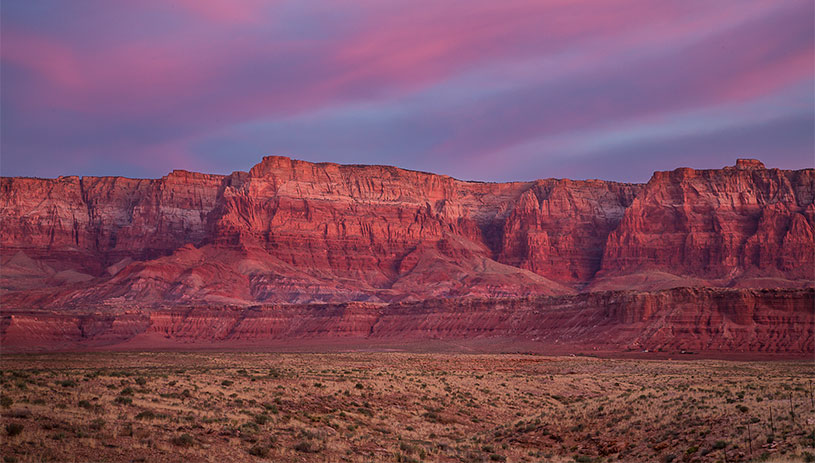
The iconic Vermilion Cliffs wind from the Colorado River at Lees Ferry west along the Utah-Arizona border. The brilliant red cliffs of the Kayenta Formation — sandstone stained by minerals like iron oxide, were once rivers depositing a conveyor belt of sand 190-200 million years ago. Travel back in time to search for dinosaur tracks wandering along the riverbanks, a common find in this rock layer.
White Cliffs
The White Cliffs at sunrise. MIKE POPEJOY
Towering 500-foot white cliffs of Navajo Sandstone come next, connecting all the way to Zion National Park. The vanilla-colored layer comes from ancient sand dunes blowing over water 180 million years ago. Explore these old dunes and you may come across oddly spherical iron concretions that resemble marbles.
Gray Cliffs
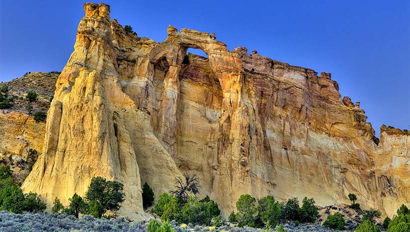
Massive cliffs of gray-to-black mudstone, shale, and sandstone beds of the Dakota Formation around 140 million years old rise above the Kaiparowits Plateau. The area was once a sweeping coastline sandwiched between rivers and the encroaching sea, and deposits have led to significant fossil discoveries, including early oysters and mollusks.
Pink Cliffs
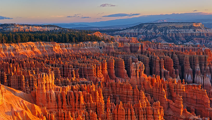
The elements have sculpted the pink and pale-orange limestone cliffs at the top of the staircase into the spires and hoodoos also seen in Bryce Canyon National Park. This relatively young Claron Formation was originally deposited as lake sediments 30-60 million years ago, after the extinction of dinosaurs. Take this final step in the staircase and you’ve arrived at the top bench, the Paunsaugunt Plateau.
How was the Grand Staircase formed?
Sedimentary rocks deposited over millions of years make up the stairsteps of Grand Staircase. However, we would only see the pink cliffs of the top rock layer, the Claron Formation, if it weren’t for wind, water, and a lot of time.
After the rock was deposited, the entire Colorado Plateau tilted and Utah’s surface rose thousands of feet above sea level. Rivers, including the Colorado River and its tributaries, cut into these rocks, leaving behind cliffs, benches, and deep canyons. Scouring monsoon storms, ice, wind, and gravity helped erode the rock layers.
Harder rocks, such as sandstones and limestones, eroded slower, and formed the cliffs. Softer rocks, like shales, eroded faster, and formed crumbling slopes.
Where can you view the Grand Staircase?
Pull over at the overlook on Highway 89A north of Jacob Lake, Arizona, or take a detour to Yovimpa Point on the north side of the Kaibab Plateau. Or go for a hike in Grand Staircase-Escalante National Monument ›
What about the geology of the rest of the monument?
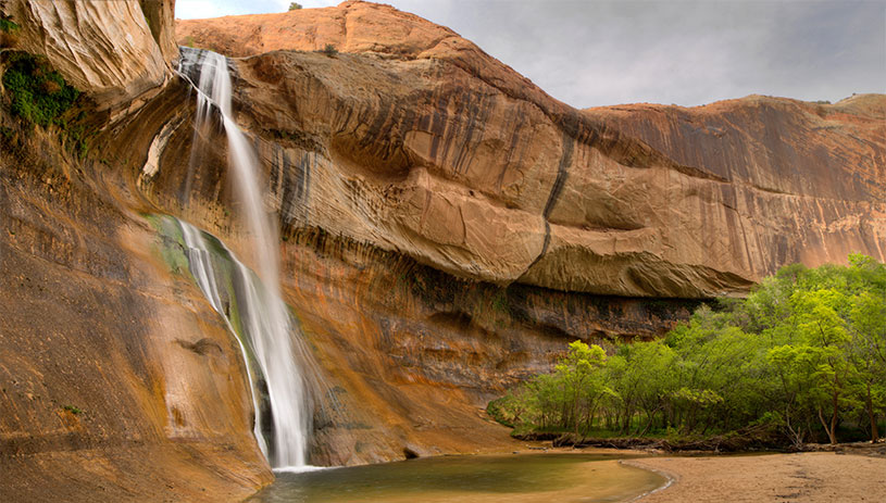
Did we mention that Grand Staircase-Escalante National Monument is large? The Grand Staircase only makes up the western third of the monument.
East of the Cockscomb — an angled ridgeline thrusting rock thousands of feet high — the monument stretches into the Kaiparowits Plateau, a vast landscape teeming with crocodile, turtle, and dinosaur fossils that hint at its swampy past. Northeast of the Kaiparowits, bounded by Capitol Reef National Park and Glen Canyon National Recreation Area, you’ll find the Escalante Canyon region of the monument. The Escalante River and its tributaries have carved this area into a maze of winding canyons and slickrock.
Grand Staircase-Escalante National Monument holds clues to Earth’s geologic past. Whether you’re squeezing through slot canyons or traversing limitless slickrock, climb back through time with a trip to Grand Staircase.

