Hike up the Elden Lookout Trail for expansive Flagstaff views
The Elden Lookout Trail is great training if you are planning a Grand Canyon hike.
It starts with a broad, gentle grade but quickly clambers up steep rocky slopes. With a starting elevation of 6,900 feet and a 2,400-foot climb in less than three miles, this trail will get anybody’s heart pumping!
Hiking the Elden Lookout Trail
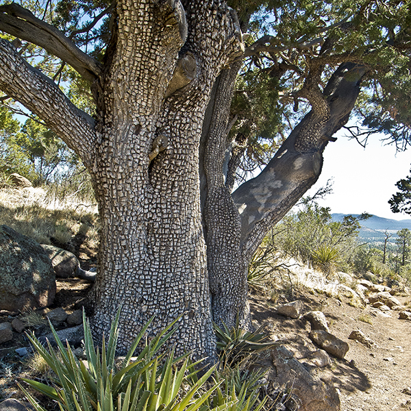
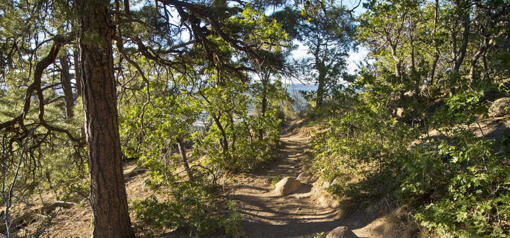
Leaving the trailhead, you reach a junction with the end of a trail known as Fatman’s Loop. Continue straight ahead. When the Lower Oldham Trail comes in from the left in a half mile, go straight. Now the climbing starts in earnest, first through a field of boulders and bedrock ledges. The rock is volcanic and is known as dacite. In fact, Mount Elden is a lava dome that formed when thick lava oozed out of several volcanic vents. Aerial photos show the large lobes that the sluggish lava flows created on the mountain’s south and west sides.
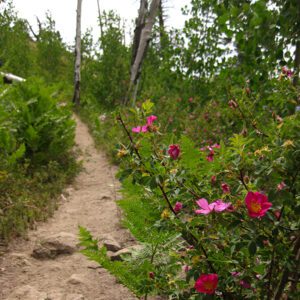
About one mile from the trailhead (and about 600 feet higher), you come to another junction, which is the upper end of Fatman’s Loop Trail. Turn left (there is a sign for the Elden Lookout Trail) and continue to climb the mountain. The trail goes up a series of switchbacks, and makes a long traverse to the east. Fir trees and aspen appear for the first time, and the views become expansive.
After a quarter-mile or so, the trail wraps around the east side of the mountain, and Sunset Crater comes into view for the first time. The trail reverses itself yet again and heads toward the fire lookout tower and the final ascent to the top of a ridge. There you reach the junction with the Sunset Trail, which comes in from the right. Continue straight ahead toward the lookout tower, about 0.3 mile away. The tower is closed to visitors.
Fires on Mount Elden
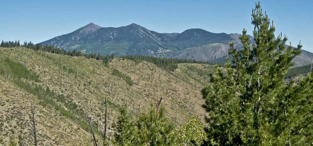
The trail climbs through dense stands of small aspen and the silvery trunks of trees that burned in the Radio Fire, which roared through this area in 1977. In the distance, the eastern flank of the San Francisco Peaks can be seen, where the Schultz Fire burned in 2010. The aspen trees provide the shade necessary for conifer saplings to grow, and the slow but eventual return of the forest.
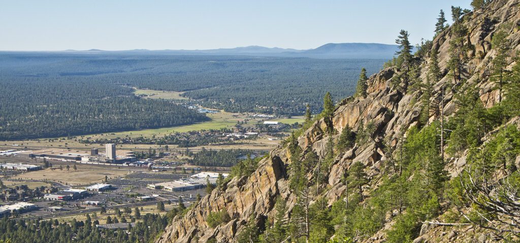
Views from the top of the Elden Lookout Trail
While the top of Mount Elden bristles with radio and microwave towers, the views are tremendous! To the north are the San Francisco Peaks, O’Leary Peak, and Sunset Crater. To the east are the Hopi Buttes and the Painted Desert. To the south is Mormon Mountain, and towards the southwest you can see Munds and Wilson mountains near Sedona. To the west are Bill Williams and Sitgreaves mountains. Finishing up the 360-degree view is Kendrick Mountain that peeks out from behind the western slope of the San Francisco Peaks.
Drink in the view and then return the way you came.
Directions to the Elden Lookout Trail
From downtown Flagstaff, head east on Highway 89 to the Flagstaff Mall on the eastern edge of town. Look for a small fenced parking lot and trailhead sign on the left (north) side of the highway a short distance past the mall entrance.