Hike to the Fishlake Hightop, a flat-topped mountain with wide alpine meadows
The climb up Pelican Canyon to Fishlake Hightop is steep, but the views from the top make the effort to get there worthwhile.
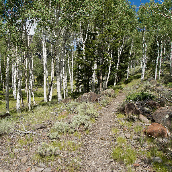
The trail leaves from the west side of the Pelican Promontory Overlook parking lot and goes up a shallow sagebrush-covered draw. In a couple of hundred feet, you reach a junction where the trail goes left as it climbs out of the drainage. The trail wanders through groves of aspen as it continues towards Pelican Canyon. Notice that most of the aspen are older and there are very few young ones. The lack of small aspen to replace the mature ones is the result of a variety of factors, but the major reason is that domestic livestock and deer both eat young aspen shoots.
At 0.5 miles the trail from the Bowery Creek Resort and the Forest Service campground comes in from the left; a sign says it is one mile to the resort. At 1.2 miles a creek may appear on the left side of the trail depending on how much rain the area has gotten. The trail skirts the left side of a large rock slide, and then it charges directly uphill, so be prepared for some hard breathing!
Approaching the top
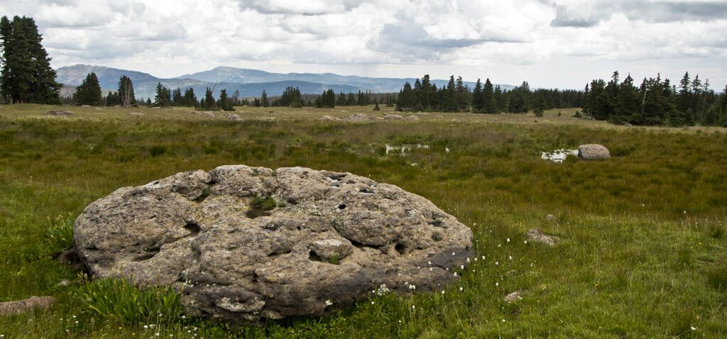
After the steep climb straight up Pelican Canyon through the dense forest, the trail levels off and breaks into a meadow at 2.3 miles (10,400 feet). The trail from Gahew Springs comes in from the left, but you want to go right towards Fishlake Hightop, 2 miles. Near the pond on your left as you leave the junction is a pile of rotted logs, all that remains of a small cabin. You get your first long range view, including Thousand Lake and Boulder mountains. The trail continues to climb, but unlike the steady grade up Pelican Canyon, this portion goes up a series of steps and wanders back and forth through rolling terrain. But the trend is always up!
On top
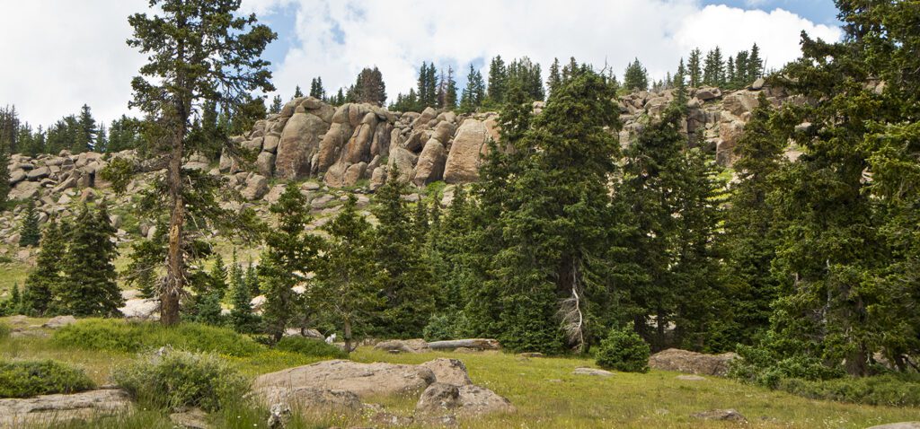
Switchbacks appear at 3.2 miles, and after climbing them, the trail follows a small drainage to the top where it wanders through widely spaced trees. Soon, the trees disappear and you enter a meadow with half-buried rounded boulders peeking through the grass. After a few hundred yards you reach the road, which is now an ATV track. Go left on the road for 0.3 miles, where it ends and there is a sign saying “Welcome to Fish Lake Hightop Trailhead.”
To the north you can see Mt. Terrill and Mt. Marvine and to the east Thousand Lake Mountain and the Henry Mountains. If you wish to summit Fish Lake Hightop, climb to the top of the butte, or after relaxing and enjoying a picnic, return the way you came.
Directions
From the Lakeside Resort on the western shore of Fish Lake, drive 4 miles north on UT 25 to a dirt road on the left that goes to Pelican Promontory overlook. The road is rough in a couple of spots, so a high clearance vehicle is recommended. The trail can also be accessed from the Bowery Creek Campground, although the trailhead is 400 feet lower than the overlook.