If you’re driving to Bullfrog Marina, pull over to hike the Hog Springs Trail
The Hog Springs Trail isn’t a destination hike in itself, but it’s worth a stop if you need to stretch your legs.
From the parking area, cross North Wash on the footbridge and follow the paved path towards two shaded picnic pavilions. Before you get to the second one, look for a small trail sign next to a cottonwood tree. Follow the worn footpath that veers to the right and leads into Hog Canyon.
Up Hog Canyon
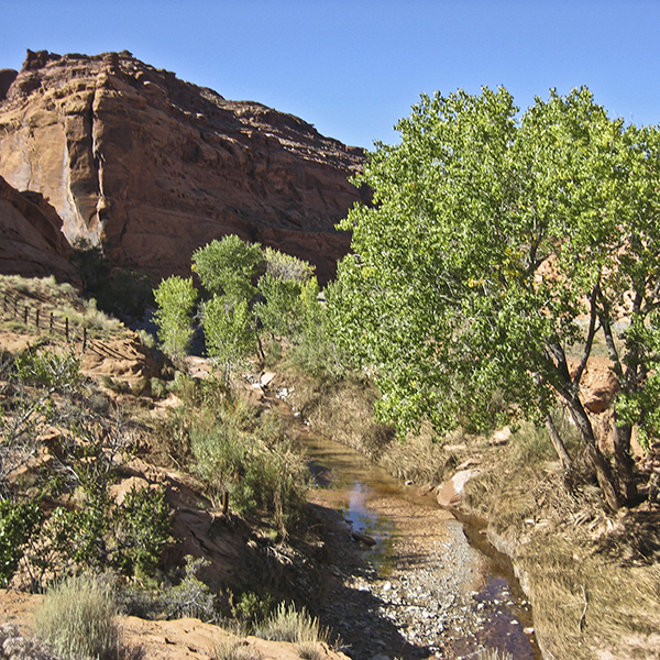
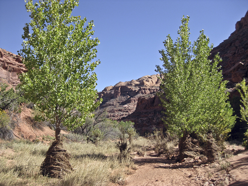
The trail crosses the bottom of the canyon and turns southwest. Making your way up the wash, you occasionally cross an intermittent stream. Hog Springs is a perennial water source about 3 miles upcanyon.
The trail generally heads west through the canyon. You may find several foot trails along the banks of the wash and the canyon floor. Continue past a series of pools starting at about a half mile. You may be able to skirt them, but be prepared to get your feet wet.
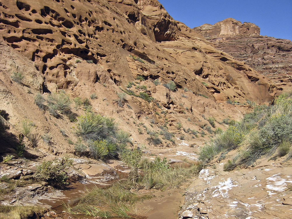
As you head away from the highway, the sandstone walls engulf you in their rich colors and surfaces. Along the way, you see the trio of rock formations that makes up the Glen Canyon Group: Wingate, Kayenta, and Navajo. Wingate Sandstone is alongside the wash bottom, with pockets and holes in between vertical fractures. The crumbling red rock towards the top of the canyon is the Kayenta Formation, which weathers into cliffs and horizontal ledges. You can spot the rounded domes of Navajo Sandstone peeking above the canyon in the distance.
Around 0.6 mile, the canyon widens where a drainage comes in from the left. Stay in the main wash, continuing west through Hog Canyon.
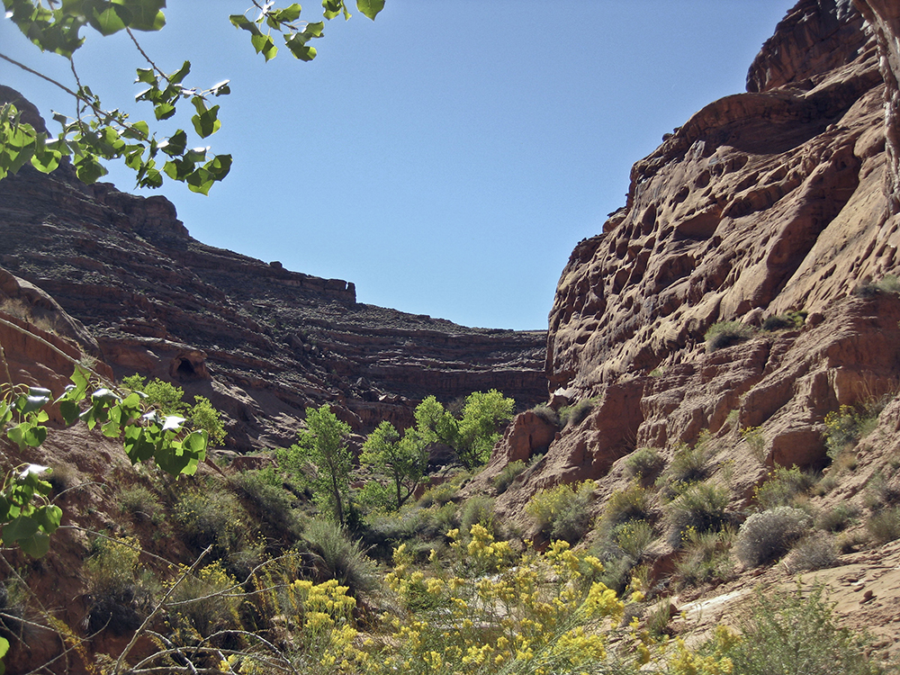
A desert oasis
Dense vegetation fills the wash as you approach a large pool and trickling waterfall, the turn-around point for this hike. A thin stream of water pours down the 5-foot drop into the swimming hole, and a cottonwood tree partly obscures it. Use the curved sides of the rock alcove to guide you to the destination.
The overhung rock wall forms a bowl, and the cottonwood tree provides a welcome pocket of shade in the afternoon sun. Feel free to explore farther upcanyon by scrambling around the waterfall. Otherwise, you can return to the trailhead after you’re feeling rested and refreshed.
Directions to the trailhead
From Hanksville, Utah: Drive south on UT 95 towards Bullfrog Marina on Lake Powell. Pass the junction with UT 276, and continue southeast. Hog Springs Picnic Area is between mile markers 33 and 34, on the right side of the road. Pull into the parking area, marked with a BLM sign.
From Blanding, Utah: Drive west on UT 95 for about 90 miles. Between mile markers 34 and 33, turn left into Hog Springs Picnic Area.