Walk through valleys of wildflowers and past two lakes on the Lofty Lake Loop in the Uinta Mountains
Trek through the far northern reach of the Colorado Plateau on this loop hike to Lofty Lake.
To hike the loop in a clockwise direction, pick up the trail on the west side of the parking area and follow signs toward Holiday Park, Meadow Lake, and Cuberant Lake. Rocks, roots, and downed wood cover the trail, and you continue walking west through the forest.
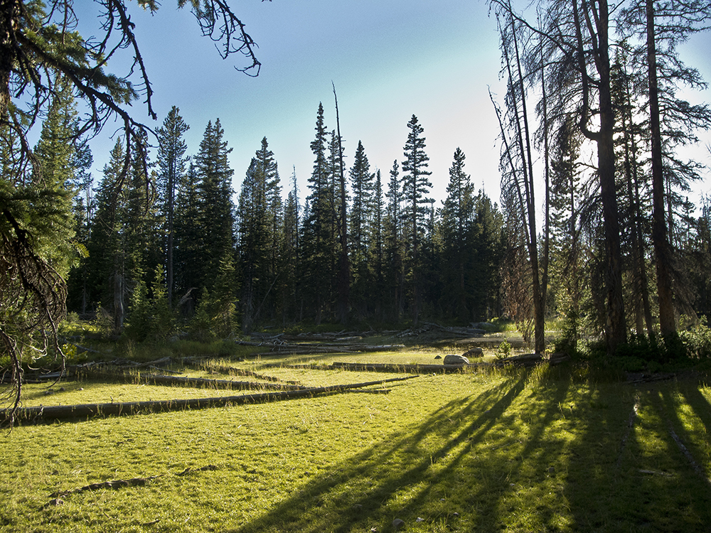
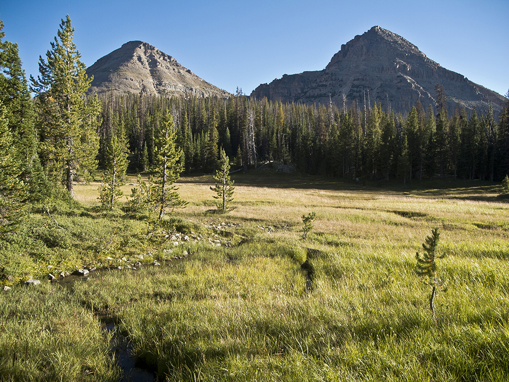
Follow signs toward Cuberant Lake through two trail junctions, continuing straight, then right, respectively. The trail turns north at a third of a mile and descends into Reids Meadow, a verdant clearing with great views of Bald Mountain and Reids Peak to the west.
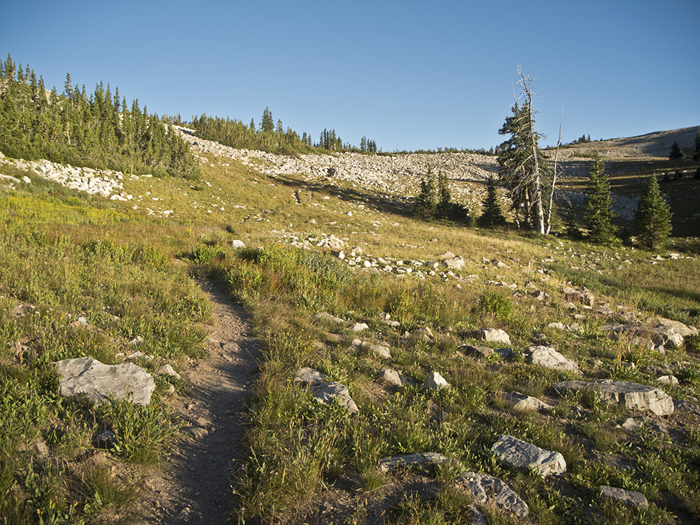
Wooden walkways pass over small gullies, while flowers like showy goldeneyes pop against the greenery. After meandering past the meadow, you begin climbing as the trail turns northeast. Around 1.2 miles, veer right at a trail junction (ignore the signs to Cuberant Lake this time, and instead head towards Kamas and Lofty Lakes).
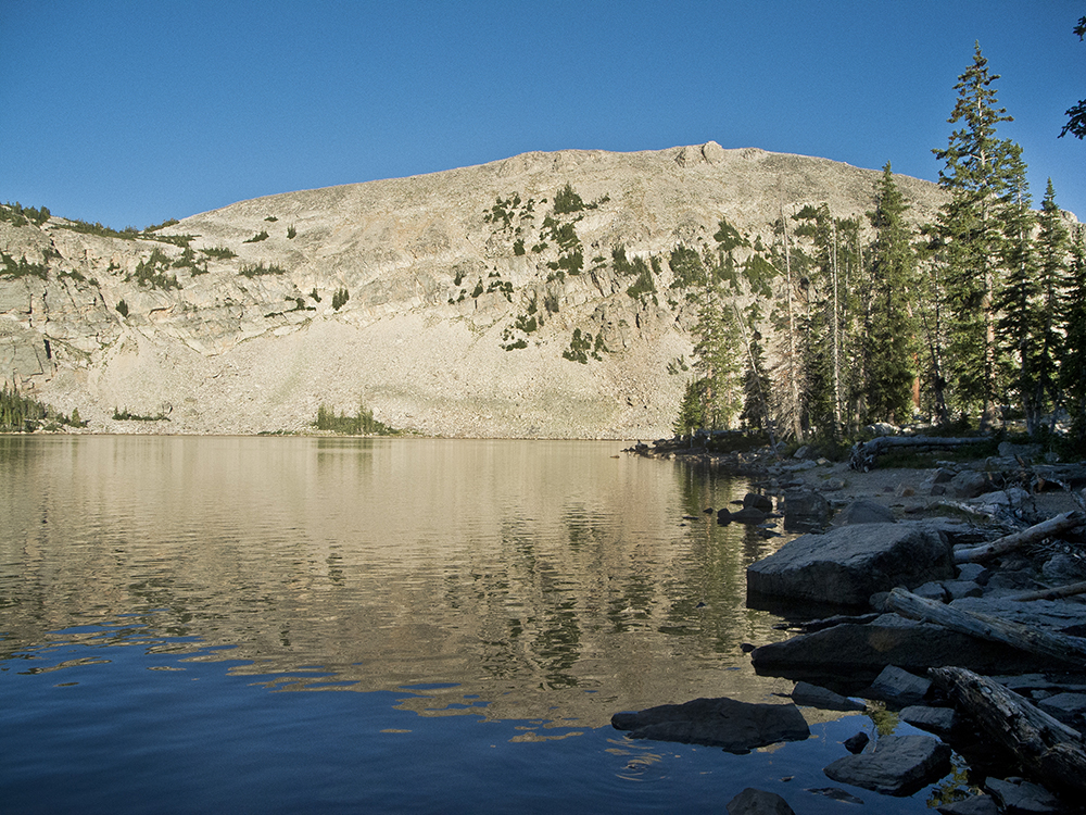
From here, the trail climbs steeply past another marshy area. Queen Anne’s lace dots the edges of the trail, and Mount Marsell is the prominent peak off to your left (west). You reach Kamas Lake near 1.5 miles, and the trail skirts around its edge. After passing a small dam on the north end of the lake, the trail climbs out of the basin and hooks around to the east.
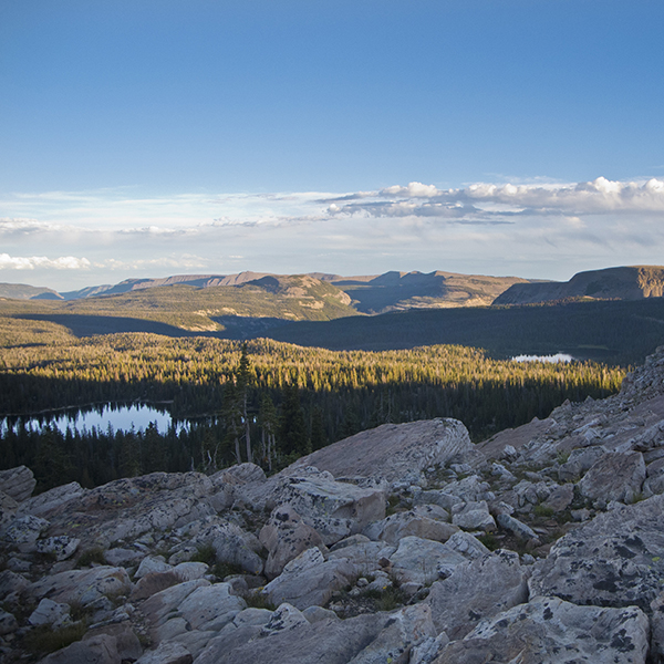
Switchbacks take you up a steep face, and the trail levels out in a valley with Indian paintbrush and other wildflowers. The trail heads southeast as you pass Lofty Lake around 2.5 miles. Climb up a rocky slope to a saddle, enjoying the panoramic views of several small alpine lakes below.
Over the ridge
From the saddle and high point of the hike (10,875 feet) the trail drops onto the east side of the ridge and starts switchbacking down among loose rocks and boulder slabs. Follow the well-trodden trail at 2.8 miles, where you may see some cairned alternative routes continuing to the north and the east. The trail turns south, gradually winding down the forested slope.
A “high voltage” sign warns of the black pipe underfoot, which you cross several times on your way back to the trailhead. When you reach a small wooden sign at Scout Lake, veer to the right following signs to Pass Lake Trailhead. Cross a jeep road, and step over several big boulders. The trail skirts Picturesque Lake and gently switchbacks down to the trailhead.
Directions to the trailhead
From Kamas, Utah, head east on the Mirror Lake Scenic Byway (Hwy 150) for 32 miles in the Uinta-Wasatch-Cache National Forest. Watch for a sign that marks the Pass Lake Trailhead on the west side of the road. Turn left and arrive at a looped parking area with pit toilets and information boards.