This is a popup dialog that overlays the main content of the page. The popup includes a search form to help you find the information you are seeking. Pressing the close button or using the escape key will close the popup.
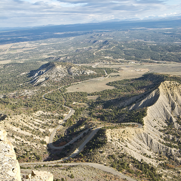
Switchback up a ridge to Point Lookout high above the entrance to Mesa Verde National Park for views of the Mancos Valley.
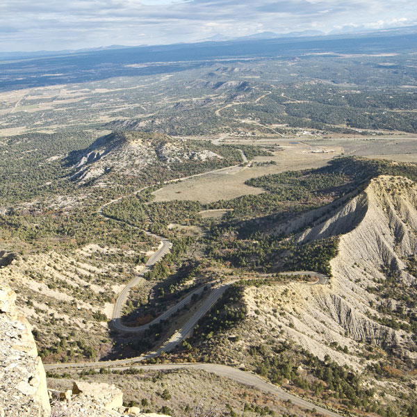
Switchback up a hillside in Mesa Verde National Park
Leaving the amphitheater parking lot, the trail crosses a sagebrush meadow as it aims toward a prominent ridge to the northeast. After a few hundred yards, you enter a mix of piñon and junipers, along with scattered groves of Gambel oak. If you look west across the valley, you can see the Prater Ridge Trail as it climbs out of the valley.
The trail begins switchbacking up the hillside. As you climb, keep an eye out for yucca, Mormon tea, and serviceberry, a bush with rounded, toothed leaves and small white flowers in the spring. Another shrub, mountain mahogany, has fan-shaped leaves with obvious veins and teeth. Ancestral Puebloans used the wood for doorways and roofs on their buildings.
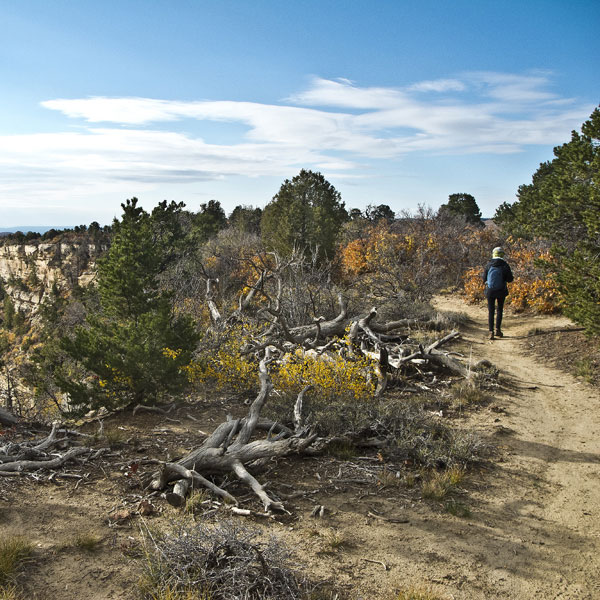
At 0.7 mile, you go over a final sandstone ledge and reach the top of the ridge. The main trail continues along a narrow ridge toward the point. A trail to the right takes you to a shelf of solid rock that ends in a sheer cliff with nothing to block the scenery.
Panoramic views
To the northeast, the La Plata Mountains rise out of the Mancos Valley. Wilson Mountain and Lone Cone Peak (not the small Lone Cone rising above the Morefield Campground) appear on the horizon to the west. Toward the northwest, the Abajo Mountains rise into the sky above Monticello, Utah, while Sleeping Ute Mountain reclines to the west.
After relaxing and enjoying the views, return the way you came.
Directions to the trailhead
Drive up the park entrance road to Morefield Campground and take the main road through the campground to the amphitheater parking lot. The trail leaves from the northeast corner of the lot.
General LocationMesa Verde National Park in southwest Colorado
Closest TownsCortez, Colorado
Distance2.2 miles (3.5 km)
DifficultyModerate
Trailhead Elevation7,900 ft (2,410 m)
Highest/Lowest Elevation8,400/7,900 ft (2,560/2,410 m)
FeesPark entrance fee required. Check the website below for current information.