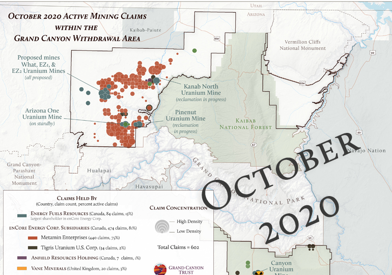
Map of Active Mining Claims Within Grand Canyon Withdrawal Area October 2020

This map shows active mining claims within the Grand Canyon mineral withdrawal area, and was produced using data from the BLM LR2000 Land and Mineral Systems Reports, downloaded in October 2020. The map is updated from a 2018 version ›
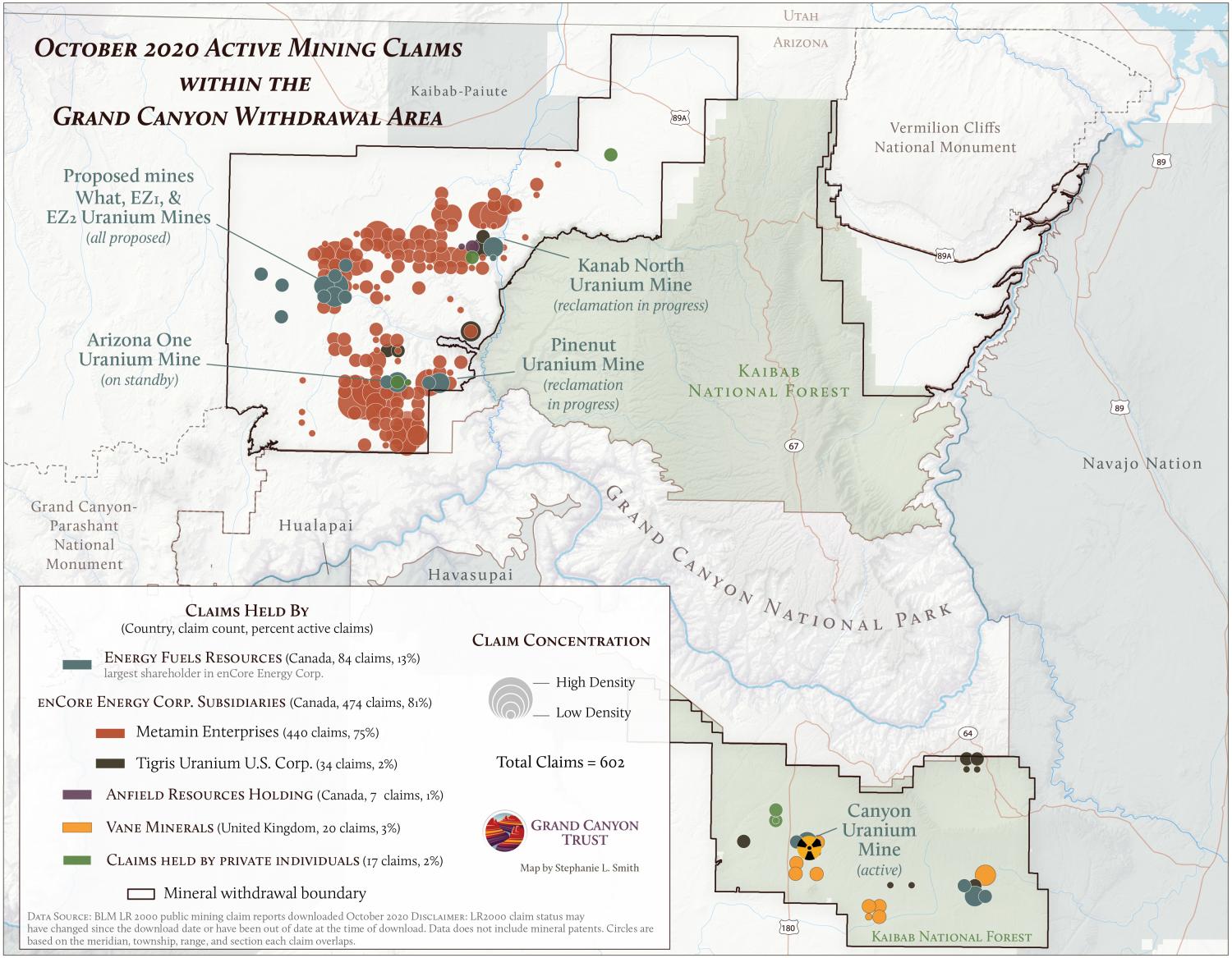
Active mining claims within the Grand Canyon withdrawal area, October 2020

Download your copy

Maps and graphs may be used for non-commercial purposes provided that they are not altered or edited and they are appropriately credited.

All map products should be credited to Stephanie Smith, Grand Canyon Trust, unless otherwise noted. A hyperlink to the Grand Canyon Trust website is appreciated.

For higher quality images or custom sizing please contact our communications director, Ashley Davidson, at adavidson@grandcanyontrust.org

Related Resources

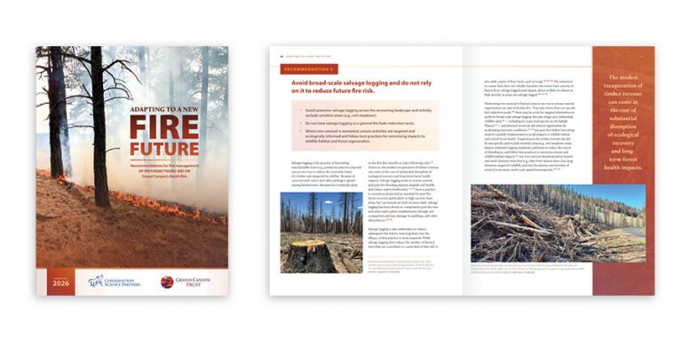
Report cover and inner pages featuring images of forest fire aftermath, burnt trees, and text discussing forest management and fire risk reduction.
This report outlines recommendations for fire management on the Kaibab Plateau and the Grand Canyon’s north rim.
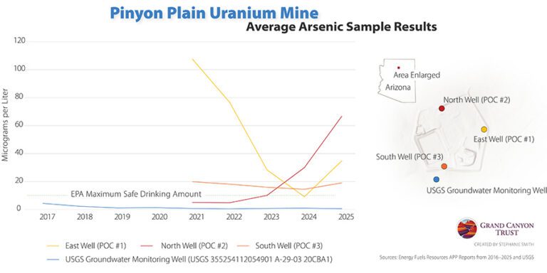
Line graph showing average arsenic levels (2017–2025) at Pinyon Plain Uranium Mine wells, with some readings exceeding EPA’s safe drinking water limit. Inset map marks well locations.
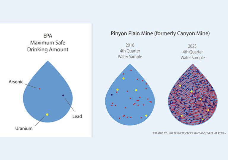
Rising arsenic levels in monitoring wells at Pinyon Plain uranium mine raise concerns about possible contamination of groundwater in the Grand Canyon region.