Colorado Plateau Road Map to Carbon Neutrality

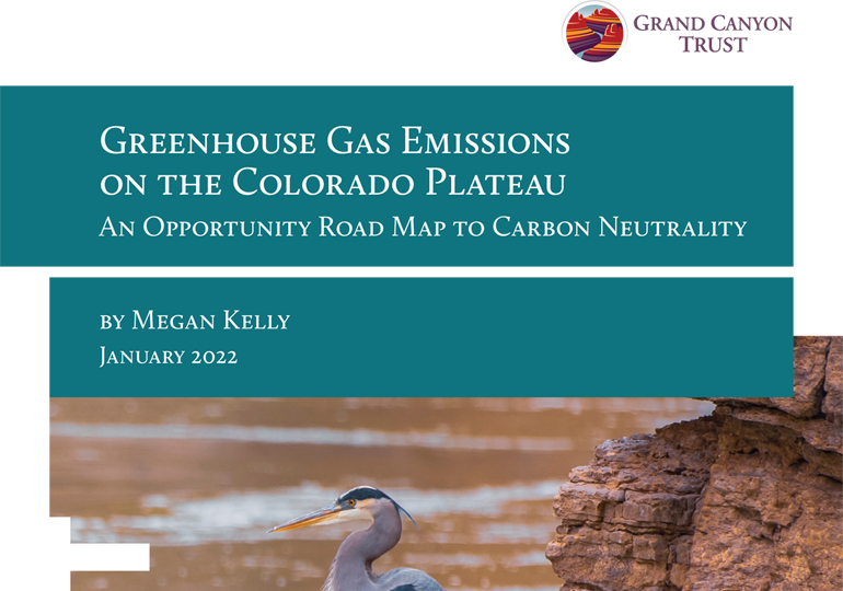
This opportunity road map looks at the largest sources of greenhouse gas emissions on the Colorado Plateau and examines how to work toward carbon neutrality on the Colorado Plateau by 2035. Download the full road map ›

Download the road mapDownload the PDF ›

Related Resources

This map shows the risk of fatal accidents along the more than 300-mile transportation route from Canyon uranium mine (renamed Pinyon Plain Mine) near the Grand Canyon to the White Mesa uranium mill. Four of the five most dangerous sections along the route are on the Navajo Nation. See a photo gallery of the haul route, […]

This map shows active mining claims, including various uranium mines, inside the boundaries of Baaj Nwaavjo I’tah Kukveni Grand Canyon National Monument The map was produced using data from the Bureau of Land Management and updated in June 2024.   Download a PDF of the map › Maps and graphs may be used for non-commercial purposes […]