This is a popup dialog that overlays the main content of the page. The popup includes a search form to help you find the information you are seeking. Pressing the close button or using the escape key will close the popup.
Resources › Critical Habitat Map for Endangered Fish Near Enefit Oil Shale Development
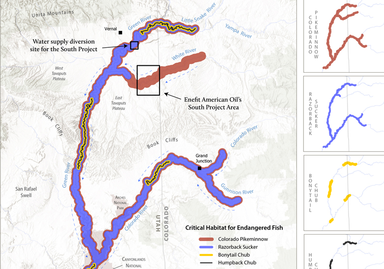
Critical Habitat Map for Endangered Fish Near Enefit Oil Shale Development
Maps and graphs may be used for non-commercial purposes provided that they are not altered or edited and they are appropriately credited.
All map products should be credited to Stephanie Smith, Grand Canyon Trust, unless otherwise noted. A hyperlink to the Grand Canyon Trust website is appreciated.
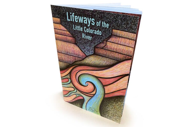
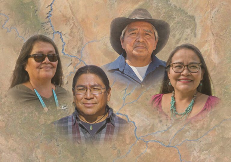
Native voices — sheepherders, scientists, educators, farmers, artists, and activists — share their personal and cultural connections to the Little Colorado River, from its headwaters to the Grand Canyon