Jobs & Internships
Are you looking to further your career in advocacy, conservation, or environmental justice? Consider a job or internship with the Grand Canyon Trust.
At the Grand Canyon Trust, our work is more than just a job. It’s a calling. Join the team.
Are you ready to put your passion and skills to work safeguarding the Grand Canyon and Colorado Plateau and supporting the rights of its Native peoples?
As a nonprofit conservation organization dedicated to making sure the region’s natural wonders, communities, and cultures thrive, we need a team of good-hearted people to advocate for a better tomorrow.
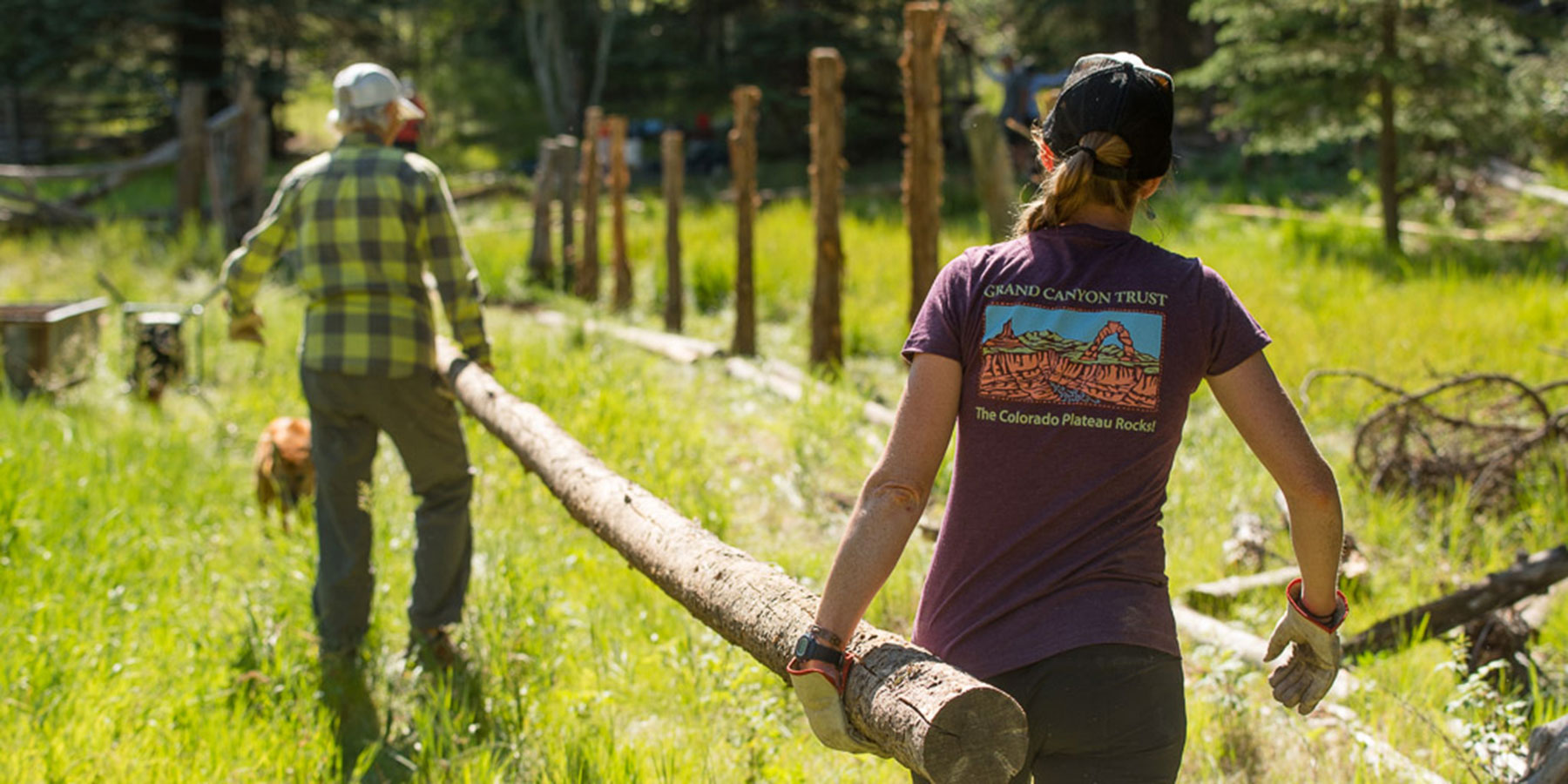
Some of us spend our days analyzing data, crunching numbers, or preparing legal briefs. Others of us meet with partners, plan trips to D.C., or do restoration projects. But regardless of our individual to-do lists, we all share a love of place that drives us in our collective vision for the Colorado Plateau. We’re in it for the long haul, and we hope you are too. Jobs and internships open periodically, so check back soon if you don’t see a position that matches your interests.
Jobs & internships Current openings
Staff positions
We’re fully staffed at the moment. Please check back for future opportunities. Get connected to the Grand Canyon Trust
Internships
The Grand Canyon Trust believes in expanding opportunities for the next generation of conservation and social justice advocates. We bring young professionals into our work, pay equitable wages, and offer mentorship and training. Interns typically work 40 hours per week, for 12 weeks in the summer (May – August). Be the first to know when internship positions open
Working at the Grand Canyon Trust
We are advocates, scientists, lawyers, community activists, communicators, educators, and more.
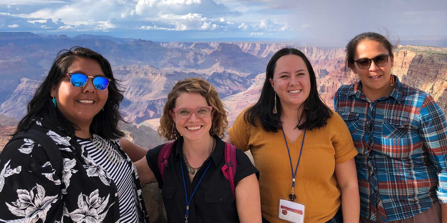
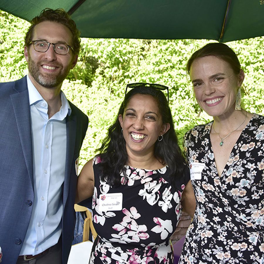
We show our love for the Grand Canyon and the Colorado Plateau every day through our commitment to our work and each other. Beyond our professions, we are parents, artists, farmers, athletes, traditional knowledge holders, musicians, and people of many talents and interests. We know that without diverse perspectives, ways of knowing, and backgrounds, we cannot achieve our potential as an organization. We welcome and support all identities, and respect the diversity of our staff, partners, constituencies, and communities in which we work.
Location, location, location
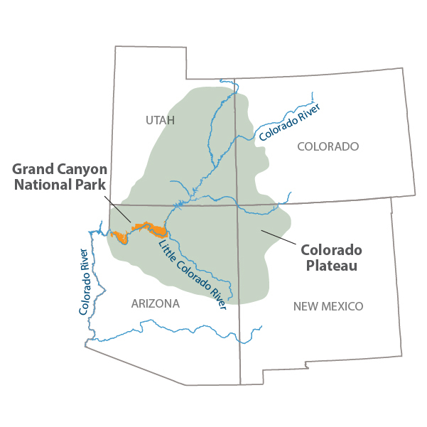
All our staff live and work in Arizona, Utah, Colorado, and New Mexico. We are lucky to have Grand Canyon National Park, Bears Ears and Grand Staircase-Escalante national monuments, and dozens more amazing places a few hours away. The Colorado Plateau is home to many Native American tribes, whose cultures, traditions, languages, and teachings continue to infuse the region today.
Employee benefits
From competitive salaries, to comprehensive benefits, to generous vacation and parental leave policies, the Grand Canyon Trust takes good care of its employees. Here are some of the employee benefits we offer:
- Flexible scheduling
- 12 paid holidays
- Two weeks paid vacation to start, and two weeks paid sick leave
- 12 to 14 weeks of paid parental leave
- 100% employer-paid employee medical and dental insurance (50 percent employer-paid for qualified dependent premiums)
- 4% automatic employer contribution to 401K retirement plan, plus up to 2% match
- Employer-paid long-term disability insurance
- Professional development opportunities
- Paid community service time, sabbatical leave, and more
The hiring process
After the Grand Canyon Trust hiring team reviews all application materials, we invite candidates who meet required job qualifications for phone screenings. Selected candidates move on to the interview process, which involves one to two interviews with our team.
If you need reasonable accommodation during any part of the hiring process, please contact careers@grandcanyontrust.org
Diversity and inclusion
The Grand Canyon Trust is committed to justice, equity, diversity, and inclusion at every level of our work. The conservation field and the Colorado Plateau have their own histories of racial injustice and exclusion and as a largely white organization, we know we have work to do. We are actively working to make the conservation field and the Colorado Plateau more just, equitable, diverse, and inclusive. We are working from the inside out, starting with our internal practices, including our hiring process. We hope you’ll join us and apply for a job or internship today.