Protected Lands Along the Colorado River Map

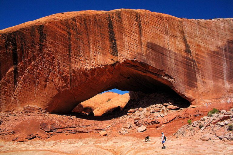
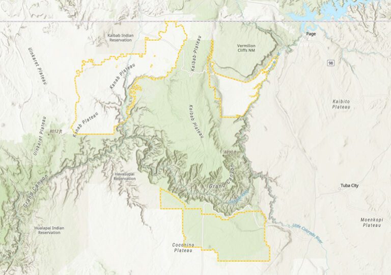
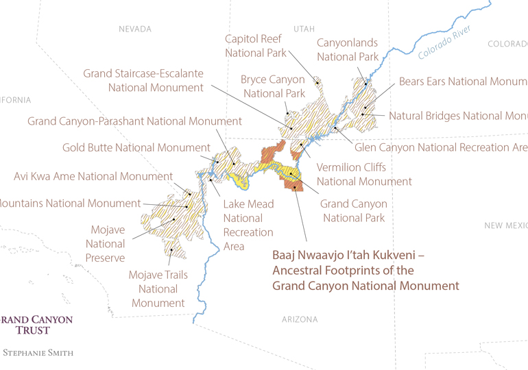
The designation of Baaj Nwaavjo I’tah Kukveni – Ancestral Footprints of the Grand Canyon National Monument fills in missing protections in the greater Grand Canyon region, linking 16 other national parks, monuments, and recreation areas across California, Nevada, Arizona, and Utah.

Protected lands map

Download your copy

Maps and graphs may be used for non-commercial purposes provided that they are not altered or edited and they are appropriately credited.

All map products should be credited to Stephanie Smith, Grand Canyon Trust, unless otherwise noted. A hyperlink to the Grand Canyon Trust website is appreciated.

For higher quality images or custom sizing please contact our communications director, Ashley Davidson, at adavidson@grandcanyontrust.org

Related Resources

Dragon Bravo Fire Map showing the locations and burn perimeters of the White Sage and Dragon Bravo wildfires in 2025 near Grand Canyon National Park and Kaibab National Forest, with affected areas shaded in orange.
See a map of the areas the Dragon Bravo and White Sage fires burned on the north rim of the Grand Canyon in the summer of 2025, destroying the lodge and numerous other park buildings.
Advocate Magazine cover with image of red packraft on clear blue water in a cave in the Grand Canyon
The fall 2025 edition of the Grand Canyon Trust’s Colorado Plateau Advocate magazine, including a deep dive into the Grand Canyon’s ancient groundwater.
Illustrated map of the Colorado Plateau showing major landmarks, animals, and vegetation across regions of Utah, Colorado, New Mexico, and Arizona.
The Grand Canyon Trust’s 2025 map of national monuments, national parks, landmarks, plants, and animals across the Colorado Plateau.