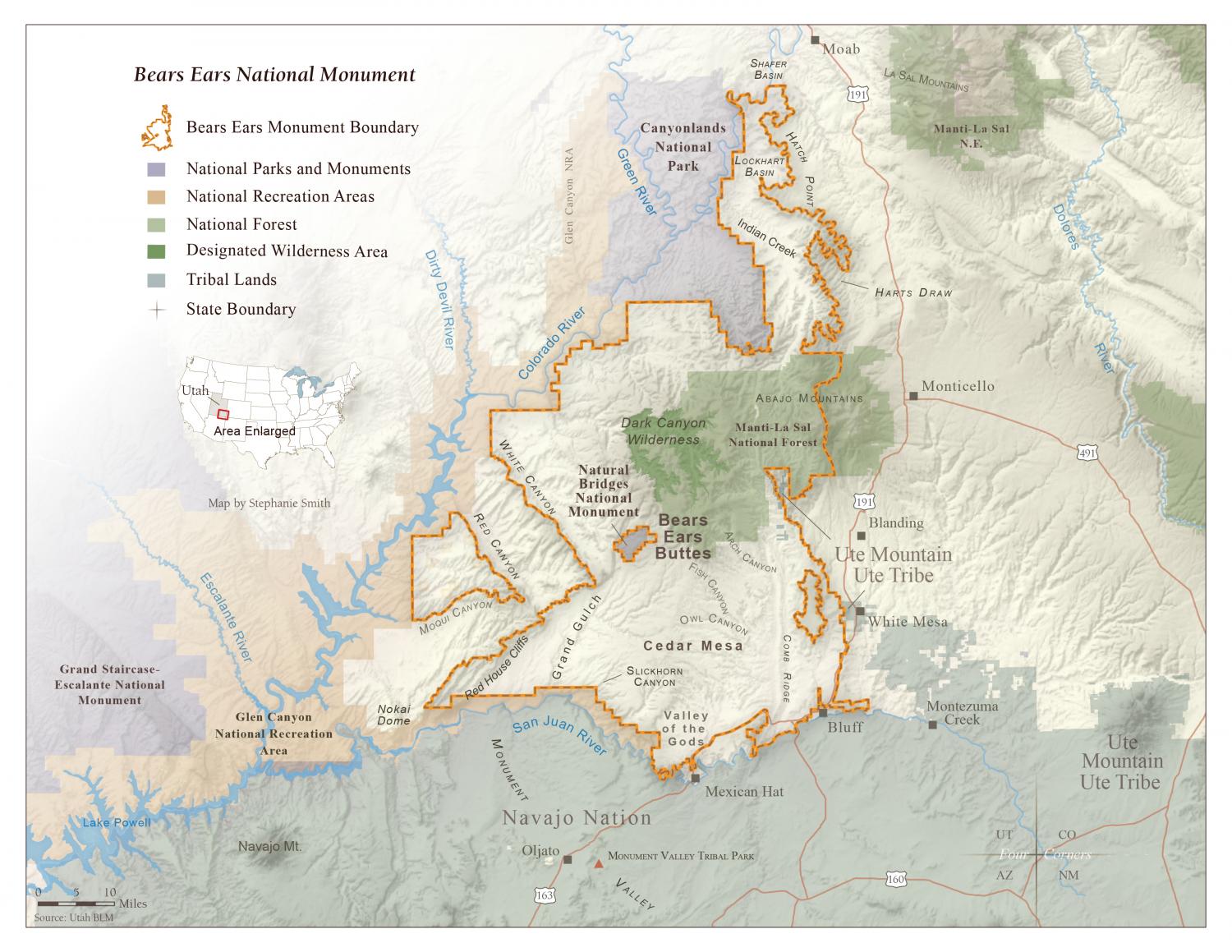
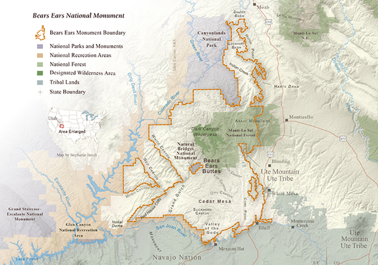
Bears Ears National Monument Map

The Bears Ears National Monument map boundaries. View the 2017 changes to Bears Ears ›

Map of Bears Ears National Monument

Download your copy

Maps and graphs may be used for non-commercial purposes provided that they are not altered or edited and they are appropriately credited.

All map products should be credited to Stephanie Smith, Grand Canyon Trust, unless otherwise noted. A hyperlink to the Grand Canyon Trust website is appreciated.

For higher quality images or custom sizing please contact our communications director, Ashley Davidson, at adavidson@grandcanyontrust.org

Related Resources

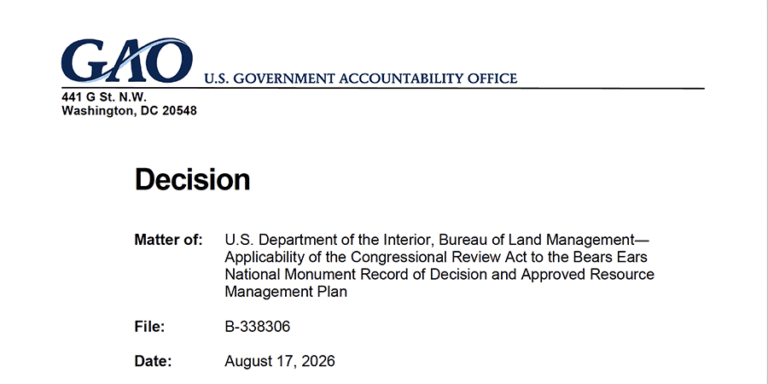
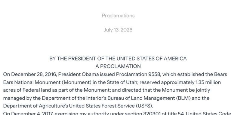
A presidential proclamation document dated July 13, 2026, referencing Bears Ears National Monument and its management by U.S. federal agencies.
On July 13, 2026, President Trump issued a new proclamation cutting Bears Ears National Monument by 91% and eliminating a historic cooperative agreement with the five tribes of the Bears Ears Commission.
Brochure for Vermilion Cliffs National Monument highlighting plant communities, rare habitats, and travel preparation tips. Includes images of desert landscapes and native plants.
This brochure outlines the native plants, plant communities, rare plants, and more that are found in Vermilion Cliffs National Monument.
A guide displays photos and names of various herbaceous forbs, including asters and beardtongues, with brief descriptions beside each image.
Learn about the 129 species of plants noted in the proclamation of Bears Ears National Monument.