Baaj Nwaavjo I’tah Kukveni – Ancestral Footprints of the Grand Canyon National Monument Map

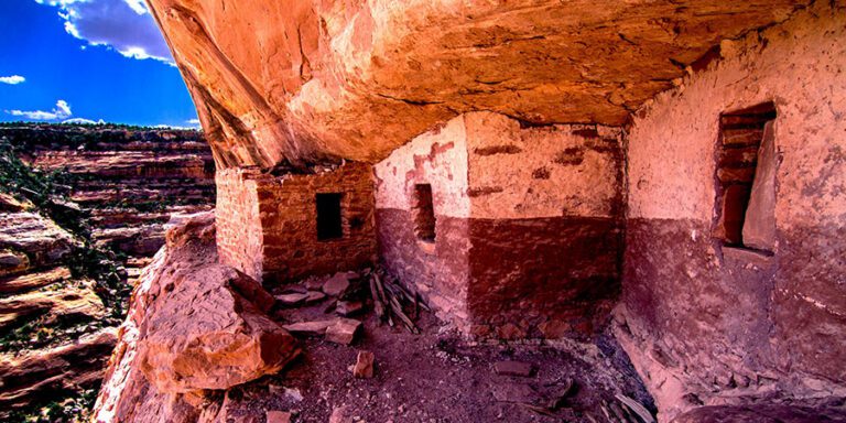
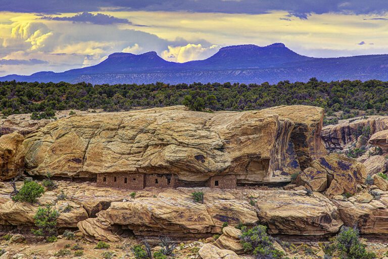
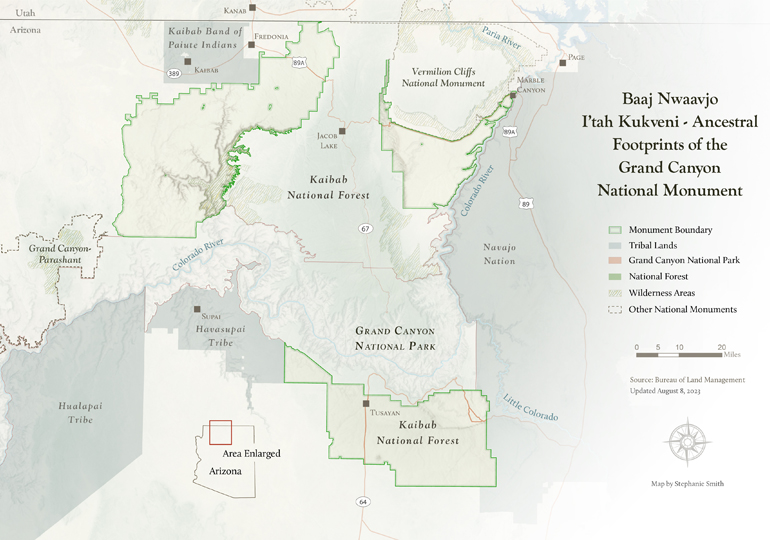
On August 8, 2023, President Biden designated Baaj Nwaavjo I’tah Kukveni – Ancestral Footprints of the Grand Canyon National Monument.

The national monument spans 917, 618 acres of forests and grasslands on the north and south rims of the Grand Canyon, protecting cultural and religious sites, plants, animals, and important water sources that flow into the Colorado River.

The national monument only includes federal lands and does not include any state or private lands. 

View the monument boundaries

Download your copy


Unbranded monument boundary map

Baaj Nwaavjo I'tah Kukveni – Ancestral Footprints of the Grand Canyon National Monument

Download your copy

Note: These maps were made based on this U.S. Bureau of Land Management map. Download the shapefile for the Baaj Nwaavjo I’tah Kukveni – Ancestral Footprints of the Grand Canyon National Monument ›

Maps and graphs may be used for non-commercial purposes provided that they are not altered or edited and they are appropriately credited.

All map products should be credited to Stephanie Smith, Grand Canyon Trust, unless otherwise noted. A hyperlink to the Grand Canyon Trust website is appreciated.

For higher quality images or custom sizing please contact our communications director, Ashley Davidson, at adavidson@grandcanyontrust.org

Related Resources

Advocate Magazine cover with image of red packraft on clear blue water in a cave in the Grand Canyon
The fall 2025 edition of the Grand Canyon Trust’s Colorado Plateau Advocate magazine, including a deep dive into the Grand Canyon’s ancient groundwater.
Illustrated map of the Colorado Plateau showing major landmarks, animals, and vegetation across regions of Utah, Colorado, New Mexico, and Arizona.
The Grand Canyon Trust’s 2025 map of national monuments, national parks, landmarks, plants, and animals across the Colorado Plateau.