Hike Bear Mountain and check another Sedona summit off your list
Soak in the panoramic views of red rock from atop Bear Mountain.
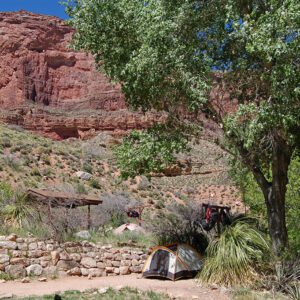
From the parking area, cross to the north side of the road and limbo through an opening in a metal gate. The trail takes off towards the Red Rock – Secret Mountain Wilderness Area, dipping in and out of two small gullies.
Red Rock – Secret Mountain Wilderness Area
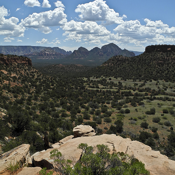
As you approach the base of Bear Mountain along juniper-studded slopes, you pass a trail register box. Around a quarter-mile, the flat trail begins to switchback up, climbing 400 feet to a narrow bench where it bends west along the base of the red Schnebly Hill Sandstone cliffs. Piñon pines and manzanita fan out towards the open views: Doe Mountain to the south, Mescal Mountain to the east, and Sycamore Canyon to the west.
Follow the gentle curve of the natural amphitheater towards a notch in the western corner. The trail climbs up steep sandstone slabs, and the rough terrain makes it difficult to keep track of the route.
Panoramic views
The ascent continues up a narrow rock corridor, but the climb eases as you reach a slickrock bench. Panoramic views stretch for miles in every direction, and looking north, you can see the summit of Bear Mountain.
From here, trek north across the manzanita-covered bench, following white blazes painted on the Coconino Sandstone to mark the route. The trail can be difficult to follow, but continue working your way north towards the peak.
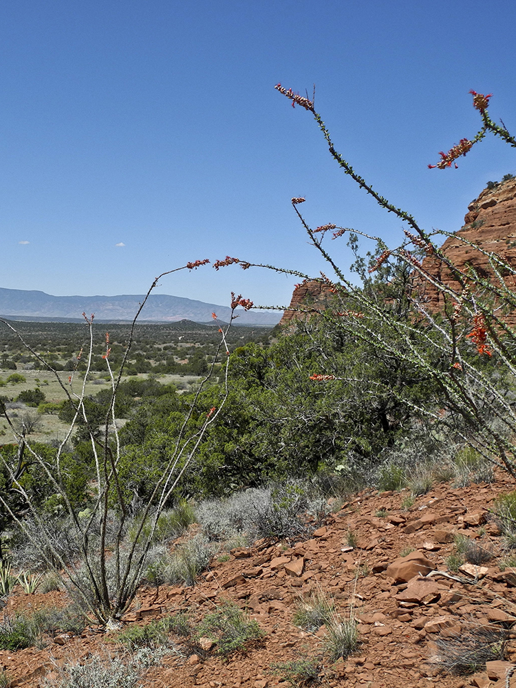
As you skirt the western edge of the rim, the trail undulates, dropping down to an isthmus of rock that separates steep drainages on both sides. A steep climb up slabs of crossbedded sandstone follows, affording excellent views into Fay Canyon to the east.
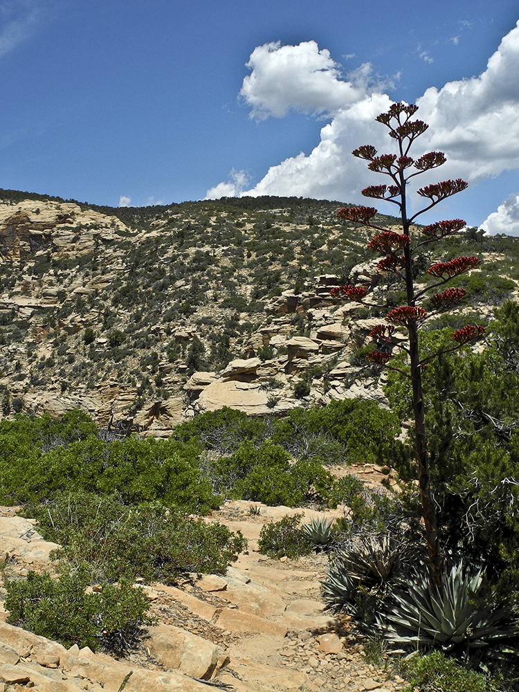
Try your best to follow the white marks, as the trail is hard to distinguish on slickrock, and you may not see cairns. Around 2 miles, you reach the top of a ridge and the last bench before the summit. A few ponderosa pines offer shade, a perfect place to enjoy the best views of the hike in addition to a well-deserved snack.
End of trail
The official end of the trail is another 0.3 mile farther and 300 feet of climbing, but the views don’t improve. For the peak baggers out there, push up the Kaibab Limestone, heading northwest until you reach the wooden “end of trail” sign. You can see the San Francisco Peaks to the north, but the trees and shrubs atop the flat-topped mountain obscure some of the Sedona redrock views.
When you’re ready, return the way you came.
Directions
From Flagstaff: Drive south on I-17 for 4.5 miles. Take exit 337 to 89A/Oak Creek Canyon, and continue for about 25 miles. Go straight through two traffic circles to stay on 89A. In another 3 miles, turn right onto Dry Creek Road (which becomes Boynton Pass Road).
Ignore turnoffs to Vultee Arch and Long Canyon Road, and where the road T’s off, turn left onto Boynton Pass Road. Drive past the Fay Canyon trailhead and arrive at the shared parking area for Bear Mountain and Doe Mountain trails on the left.