Big Spring Canyon Trail takes you across grassy benches to a slickrock basin of eroded spires.
If you’re a sucker for slickrock, hike the Big Spring Canyon Trail in the Needles District of Canyonlands National Park.
Leaving the parking lot, the trail crosses an open grassland basin but quickly reaches a junction. The trail to the left goes to Squaw Canyon, and the trail to the right goes to Big Spring Canyon. Turn right, and you will hike in soft sand along the base of a sandstone butte for a few hundred yards, at which point the trail climbs up to a sandstone ledge running along the butte’s side. Traversing along the ledge, the trail enters a shady fissure between the cliff and a large hunk of sandstone that is separated from the butte. Next you will turn right and climb over a small slickrock ridge and down a gray weathered juniper log leaning against a short drop off. Soon you arrive at another junction, where the trail to the right goes to the western section of the Squaw Flat Campground.
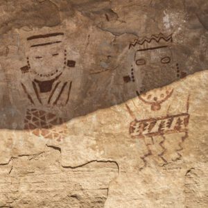
Continue straight ahead across a grassy bench. Indian ricegrass—the protein-rich seeds of which were a staple of prehistoric people—is plentiful along the trail. At about 0.8 mile, the trail reaches another junction.
The trail to the right goes to Chesler Park and another trail goes left to a nearby backcountry campsite. Continue straight ahead along the eastern bank of Big Spring Creek towards the Needles, the jagged rocks on the horizon.
Into the canyon
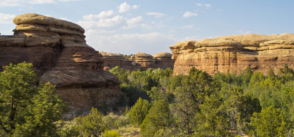
About a mile from the trailhead, sandstone bluffs begin to rise higher, the drainage narrows, and you feel that you are entering a canyon. The trail crosses the creek bottom and wanders among some fairly large piñon pine trees. Mormon tea, a branched, broomlike shrub that is a member of the Ephedra family, grows between the trees. Mormon pioneers and Native Americans brewed the plant for stomach and bowel disorders, among other things.
Continuing on the east side of the creek, the trail goes through dense stands of trees broken up by small clearings of cryptobiotic soil crusts. Please stay on the trail so you don’t damage the fragile crust. At about 1.6 miles a short trail goes to a backcountry campsite.
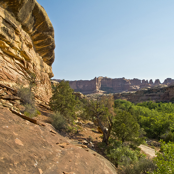
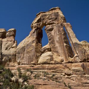
About a quarter mile past the campsite, the trail veers to the left and climbs a short, steep section of slickrock to a ledge. Here you get your first close-up view of the head of the Big Spring drainage and the fractured, eroded rock spires that give the Needles area its name. The trail drops back into the canyon bottom and goes through a lush area with dense shrubs, tall grass, and cottonwood trees.
Getting to the views
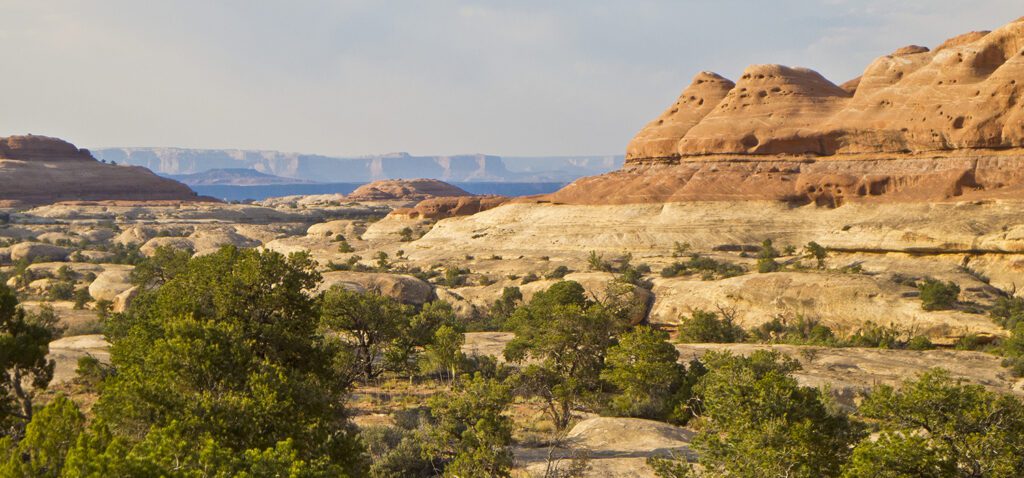
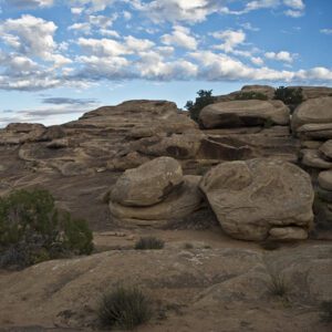
At roughly 2.5 miles, the trail goes left at a split in the canyon. Here you leave the bottom of the canyon and climb across some slickrock until you reach a small drainage. At the head of the drainage, there is a scramble up a 10-foot wall of sandstone to a bowl of slickrock where Big Spring Creek originates. The trail crosses the slickrock (look for cairns), shortly reaching the junction with the trail that goes from Squaw Canyon to Elephant Canyon. Looking back down Big Spring Canyon, you’ll be treated to a view of hundreds of rounded white sandstone knobs capped by red sandstone bluffs, scattered junipers, and in the far distance, the Wingate Sandstone cliffs of the Island in the Sky to the north. This is the end of the Big Spring Canyon Trail; return the way you came. If you wish to continue, it’s possible to return to the Squaw Flat Campground via Squaw Canyon (3.7 miles) or Elephant Canyon (6.3 miles).
Directions to the trailhead
Take Highway 191 south out of Moab. At about 40 miles, turn west (right) onto UT 211, and go another 34 miles to the Canyonlands visitor center. Continue to the campground road, turn left and go straight (past the road on the right that goes to the group of campsites) until you come to a parking lot on the left. The trail goes through the split rail fence at the right end of the small sandstone outcrop. There is a pit toilet at the parking lot. Backcountry camping requires a permit. Find out how to navigate the permit system ›