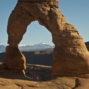
The Sand Dune and Broken Arch Trail packs a punch in Arches National Park
You’ll get to sample Utah’s best on the Sand Dune and Broken Arch Trail. Contour along the base of sandstone fins, squeeze through a slot, and see three arches along the way.
This family-friendly hike in Arches National Park makes a loop with Sand Dune Arch and Broken Arch.
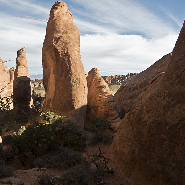
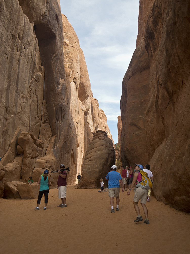
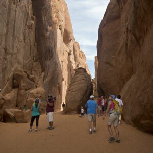
The gravel trail starts between two informational boards and heads east a short distance before forking to Sand Dune Arch. Turn right on the spur trail, continuing through a narrow slot between parallel sandstone fins. After opening into a sandy expanse, the slot narrows again and continues southeast with Sand Dune Arch on the right canyon wall. Where a fence blocks passage down the slot, retrace your steps back to the main trail.
Hiking to Broken Arch
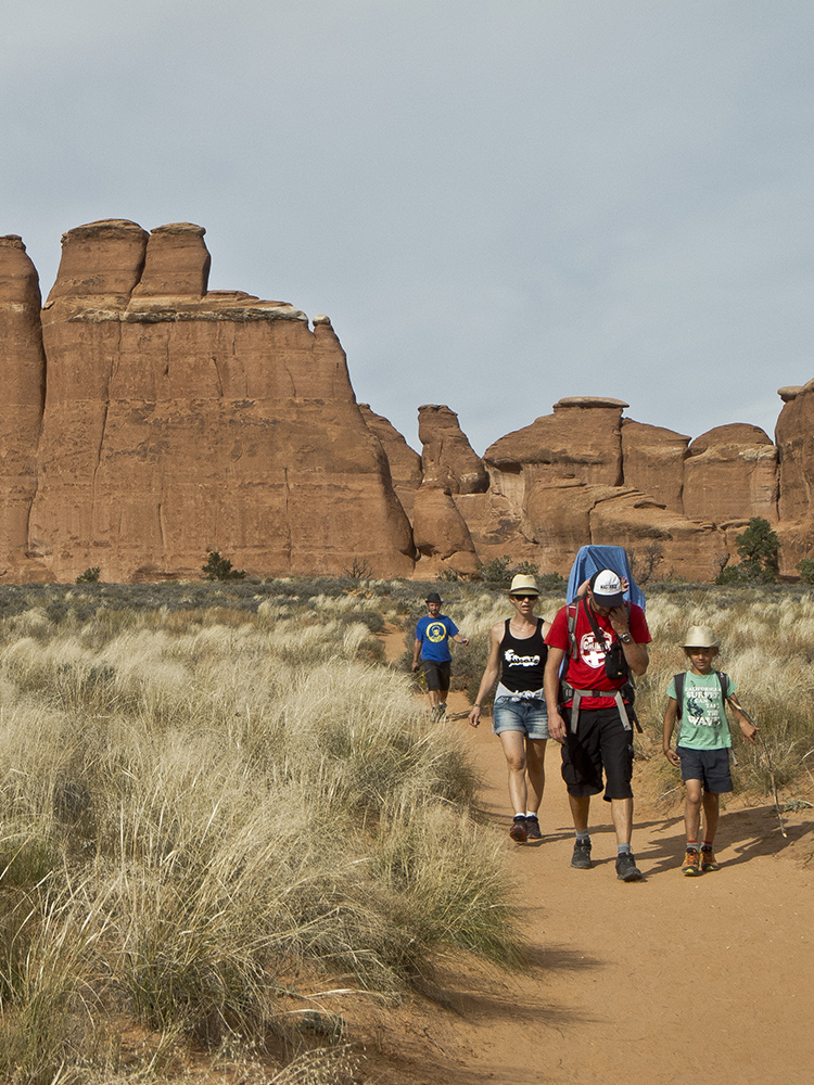
After returning to the junction, walk north on the main trail across a flat field of grasses and blackbrush. In 0.3 mile, the trail forks again. Keep right towards Broken Arch, following the loop in a counterclockwise direction.
As you curve northeast along the base of more sandstone fins, you can see the La Sal Mountains and Colorado River gorge to the east, along with occasional glimpses of Broken Arch ahead. Despite its name, Broken Arch is fully intact, and at 0.8 mile, you pass underneath it by following cairns through the opening. The trail resumes its sandy nature, lined with cliffrose and piñons.
Take the Tapestry Arch spur
When you reach an open expanse of slickrock, look to the north for great views of the Circle Cliffs over 15 miles in the distance. You can also discern Tapestry Arch to the northwest. As you drop off the slickrock terrace, bear towards Tapestry Arch along undulating sandy hills. If time allows, follow the 300-yard cairned spur trail that leads to the arch.
Home stretch to the trailhead
Reach the campground around 1.75 miles, turn south, and walk along the campground road. Pick up the trail again between campsites 51 and 52, and continue across slickrock domes. As you approach another section of sandstone fins, drop down through a slot and emerge from the crack into a field of grass and blackbrush shrubs. Hook back around to the trail junction, take a right, and return to your vehicle on the section of trail you already hiked.
Directions to the Sand Dune and Broken Arch Trailhead
From Moab, Utah, drive north on U.S. Highway 191 about 5 miles to the entrance for Arches National Park. Turn in and drive 16 miles up the park road to the signed Sand Dune Arch Trailhead. Pull into the dirt parking area on the right side of the road.