Hike Todie Canyon in Bears Ears National Monument
Todie Canyon is a short and steep tributary that can get you in and out of Grand Gulch in no time.
This tributary canyon is often used as an entry/exit route for extended trips into Grand Gulch. While the trail is short (2.2 miles one way), it is extremely steep and overgrown in parts. Expect a bushwhack.
Easy walking
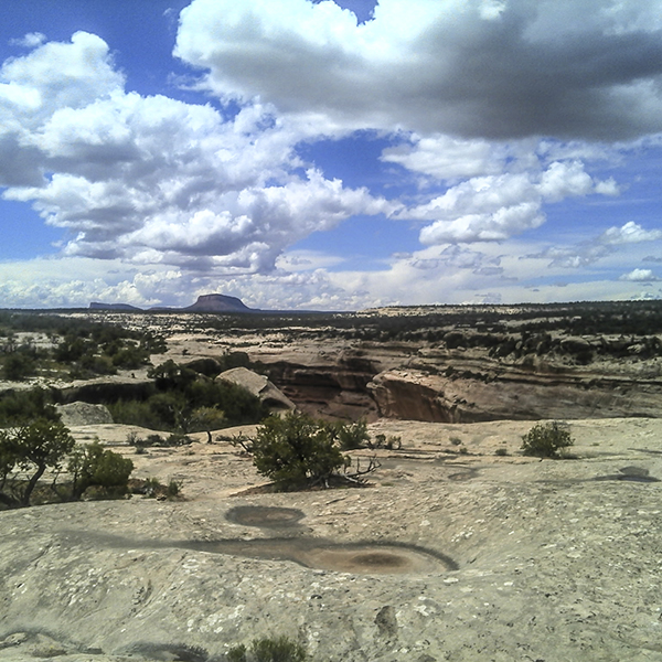
The hike starts as an easy half-mile walk paralleling a deepening gully. Piñon and juniper trees dot the rim, and the surface underfoot alternates between sand and slickrock. But the pleasant stroll ends with a 250-foot, near vertical descent to the canyon floor.
Watch your step
Cairns and pink flags in the trees mark the route down. Take your time and be careful on the steep slopes.
To Grand Gulch
Once at the bottom, head west downstream until you reach the confluence with Grand Gulch. Of course, that’s easier said than done. Jumbles of boulders, chockstones, and pouroffs make passage along the floor difficult. Watch for cairned routes along the canyon walls for (slightly) easier hiking.
A small tributary comes in from the north (0.75 mile). As you continue heading west, keep your eyes peeled for archaeological sites in south-facing alcoves — a series of small food-storage structures, called granaries, line inaccessible ledges.
Around 1.5 miles, another and much larger tributary comes in from the north. Keep your downstream course, crossing a small creek often in the lower reaches of the canyon. At 2.2 miles, you reach Grand Gulch. Grassy banks and cottonwood trees provide nice picnic and camp spots.
Day hikers, return the way you came.
Directions to the trailhead
From the junction of UT 95 and UT 261, 32 miles from Blanding, drive south on UT 261 for about 4 miles. The Kane Gulch Ranger Station is on your left. Stop here to pick up the required day-use permit (if open) or get one from the self-serve kiosk at the trailhead. Continue south on UT 261 for about 3.6 miles, turn right onto Todie Flat Road, and continue 1.2 miles across the smooth dirt track (can be impassable if wet) to the parking area.