Skirt the edge of Walnut Canyon on this section of the Arizona Trail
Hike the Walnut Canyon North Rim Trail to Fisher Point for views of a scenic limestone canyon.
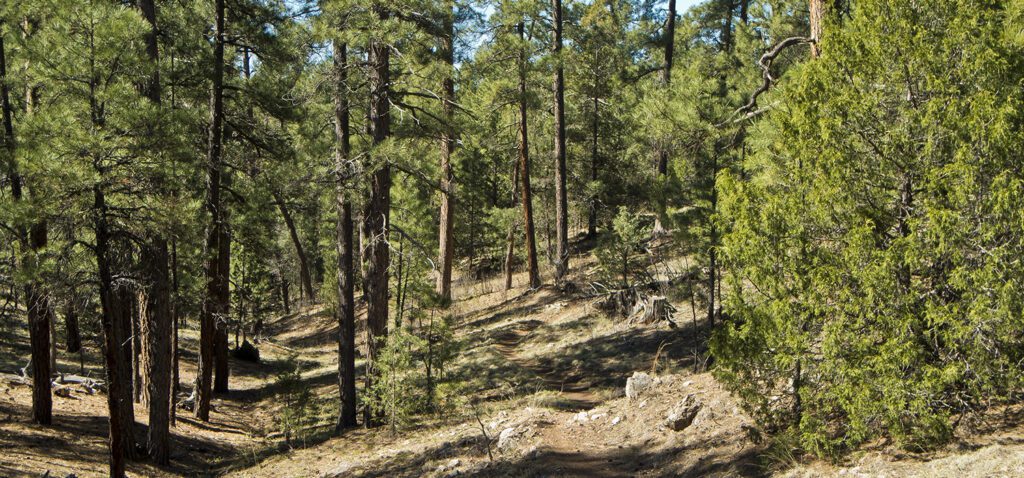
From the trailhead, you follow a wide smooth track for a few hundred feet. The trail continues through a park-like setting of open grassy areas and clumps of large ponderosa pines. Keep your eye open for tall tree stumps that are evidence of early logging when the trees were cut down by two lumberjacks using handheld crosscut saws at waist height.
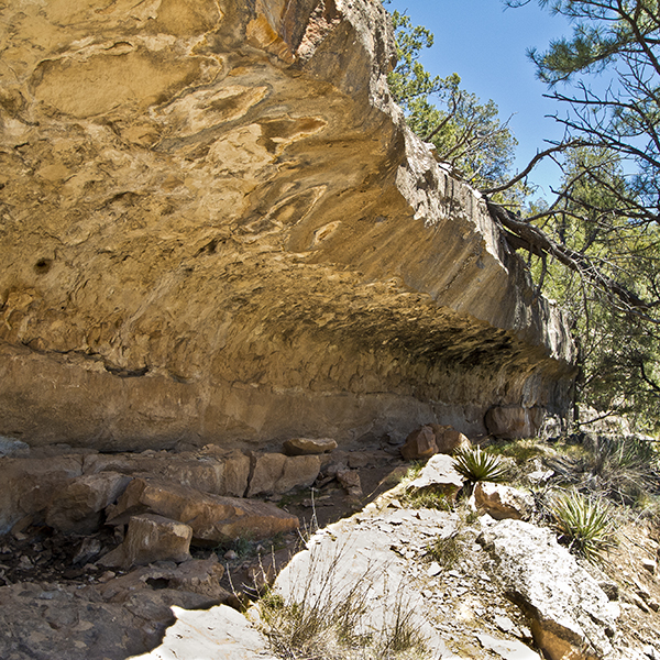
After following a shallow drainage and climbing a small hill, you reach a fence at 1.3 miles. You’ll also see a sign that says “game water,” which refers to the large sheets of galvanized steel roofing laying on the ground to capture rain for wildlife. For the next quarter mile, the trail drops into a large drainage. After going down a few switchbacks, the trail follows an overhanging ledge of Kaibab Limestone that is a good example of the kind of feature early inhabitants of Walnut Canyon sought out for building cliff dwellings. Known as the Sinagua, after the old Spanish name for the region, Sierra de sin agua or “mountains without water,” these hardy people built homes along the canyon walls from 1100 to 1400 AD.
A fork in the trail
After crossing the bottom of the drainage–about 200 feet lower than the rim–the trail immediately climbs back out and reaches a junction at 2.0 miles. The trail to the left goes to an overlook (0.2 miles) and the trail to the right continues on to Fisher Point. If you are interested in a shorter hike (4.4 miles roundtrip), but want a view into Walnut Canyon, go to the overlook and return to the trailhead.
To Fisher Point
After leaving the junction, the trail goes around the head of two small tributaries of the main canyon. After a long straight section, you reach a junction with a spur trail that goes 0.1 miles to a trailhead on FR 301.
After the junction, you follow the west side of a shallow drainage. At 5 miles, you’ll reach the canyon rim, where the trail hooks left and follows the rim for a hundred feet before leaving it to round the head of another small tributary. For the next 1.5 miles, the trail repeatedly follows the rim and then leaves it to loop around shallow valleys that dump into the main canyon.
At 6.3 miles, you will see a second trail coming in from the right. This trail descends to the floor of Walnut Canyon, and continues on to Sandy’s Canyon, Fay Canyon, and the Marshall Lake to Flagstaff section of the Arizona Trail. Continue straight for 0.2 miles to reach Fisher Point.
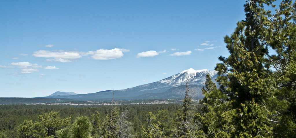
From Fisher Point the views to the west open up and you can see Flagstaff, Woody Mountain southwest of town, and glimpses of the San Francisco Peaks. In the meadow below, you can see the trails mentioned in the previous paragraph. After relaxing and enjoying the view, return the way you came.
Directions
From downtown Flagstaff: Drive 3.5 miles east on Highway 89 to the junction with historic Route 66, turn right and proceed past the Flagstaff Mall for 4.5 miles, at which point the road meets Interstate 40 (Exit 204). Continue across the freeway, past the Walnut Canyon National Monument sign for 2.5 miles, turn right on Forest Road 303 (FR 303), and go 1.7 miles. The trailhead is on the left.