Climb to the top of Wilson Mountain, a flat-topped mesa and the highest vista in the Red Rock – Secret Mountain Wilderness
Wilson Mountain and Wilson Canyon trails leave from the same trailhead but quickly branch off from one another at the picnic pavilion.
Follow the signs to the right for Wilson Mountain, beginning a gradual ascent up several switchbacks.
First Bench Wilson Mountain
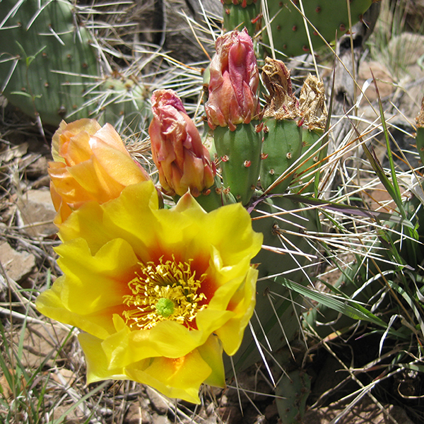
Enjoy flat walking for about a half mile past manzanita, prickly pear, and agave plants as the trail contours above the floor of Wilson Canyon. Steamboat Rock juts out from the east canyon wall, and power lines stretch overhead. When you reach a junction with the Wilson Canyon Trail around 0.5 mile, stay straight and continue heading north along the rim of the redrock ravine.
Set your sights on the grassy saddle ahead and begin a steady climb towards it. The trail makes a short jog to the left, bending back around in a series of switchbacks to the top of First Bench. You cross a rocky drainage several times and are treated to panoramic views of Munds Mountain, Midgley Bridge, and the lower end of Oak Creek Canyon en route.
Atop the bench, you can see the upper end of Oak Creek Canyon and the San Francisco Peaks to the north. At 3 miles, North Wilson trail comes in from the right. A worn wooden sign marks the junction, and you veer left heading towards the top of Wilson Mountain.
Wilson Mountain
Continuing up the Wilson Mountain Trail, you climb through a dense patch of Gambel oak. Charred stumps, scars from the 2006 Brins Mesa Fire that burned nearly 4,500 acres of forest, dot the slopes.
After making two sharp switchbacks, the trail levels out as it passes through a grove of ponderosa pines. A final short push over another saddle puts you on the flat-topped, woodland summit; for open views, you need to continue hiking to one or both of the overlooks. A discreet sign marks the branch; left will lead to the Sedona Overlook, and right goes to the north side of the mountain and an overlook of Sterling Canyon. Each option is described below.
Sedona Overlook
At the sign, turn left and follow the trail over a forested knoll. The half-mile spur trail (the shorter of the two) takes you across a flat bench to the southern rim. Standing at the edge, you have the most panoramic views in the area, including lower Oak Creek Canyon, Sedona, the Village of Oak Creek, redrock promontories, Munds Mountain, and Midgley Bridge. Retrace your steps to the junction.
Sterling Canyon Overlook
To continue the 1.5 miles to Sterling Canyon Overlook, take the right fork (north) across the flat mesa. You pass Wilson Peak on your right, while highstepping over downed tree trunks that look like toothpicks spread across the floor. Follow the trail to the rim’s edge to catch views between ponderosa trees of Sterling Canyon, the Mogollon Rim, Oak Creek Canyon, and the San Francisco Peaks.
When you’re ready to return, retrace your steps back to the trailhead.
Directions
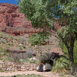
From Flagstaff: Drive south on I-17 for 4.5 miles. Take exit 337 to 89A/Oak Creek Canyon, and continue for about 22 miles. Turn right into a small gravel parking lot just north of Midgley Bridge. Pit toilets and shaded picnic tables are available at the trailhead.
From Sedona: Drive north on 89A for 2 miles. Immediately after you pass over Midgley Bridge, turn left into a gravel parking lot.