Let the crowds have Angel’s landing. Head to the sparsely visited East Rim Trail of Zion National Park instead
The East Rim Trail leaves from the park’s east entrance station and heads generally northwest, eventually dropping you into the main canyon.
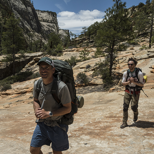
Zion National Park is a zoo during peak season, but you can steer clear of the congestion and main canyon hubbub by hiking the periphery of the park.
Expect a sandy slog for the first several miles, as the trail follows the bottom of the Clear Creek drainage (usually dry). Around 1.3 miles, the trail turns into a tributary and climbs up to the rim. Continue to work your way around to the head of the steep-walled canyon called Jolley Gulch.
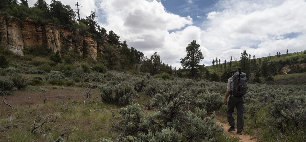
As you head north toward the more impressive scenery, the trail cuts through a ponderosa forest and sagebrush flats, gradually climbing to a highpoint of about 6,750 feet. Past this, around 5.8 miles, you reach Stave Spring and a junction with the Cable Mountain and Deer Trap Mountain trails. Stay right, continuing north. A dirt track comes in from the right in a quarter mile; keep straight.
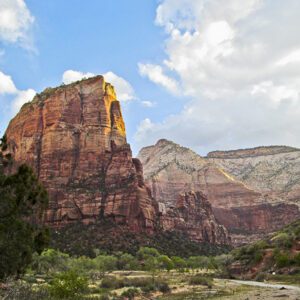
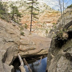
Around 6.8 miles, the trail switchbacks into Echo Canyon — the start of a steep descent into the main Zion Canyon. Cairns mark the route across patches of slickrock. Navajo domes swallow you into their crossbedded folds, and you continue heading downcanyon.
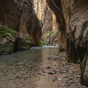
Near 8.5 miles, the Observation Point Trail branches off to the right. Stay straight, soon dropping into the narrow lower reaches of Echo Canyon. Descend the final 800 feet to the floor of Zion Canyon via a steep set of switchbacks. While you’re there, be sure to check out Weeping Rock, a lush alcove with springs and hanging gardens.
Note: Unless you want to pound out a 20.5-mile roundtrip hike or backpack the route, most people choose a place to turn around and retrace their steps back to the trailhead. Alternatively, you could start from the Weeping Rock Trailhead and hike into Echo Canyon — a more scenic day hike, but also more crowded.
Find out how to get a backpacking permit
Directions to the trailhead
The East Rim Trail is bookended by two trailheads — Weeping Rock in the main Zion Canyon, and the East Rim Trailhead near the park’s east entrance station. You can start at either, but the east side is far less busy.
Weeping Rock: From April to October, the only way to access the Weeping Rock Trailhead is by riding the park shuttle bus. During the winter months, you can drive your personal vehicle up the park road and park at the trailhead.
East Rim Trailhead: Drive to the park’s east entrance station. On the west side of the kiosks, there is a road that heads north and dead ends at a gravel parking area.