This is a popup dialog that overlays the main content of the page. The popup includes a search form to help you find the information you are seeking. Pressing the close button or using the escape key will close the popup.
Resources › Canyon Mine (Pinyon Plain) Uranium Mine Water Dashboard
Canyon Mine (Pinyon Plain) Uranium Mine Water Dashboard
The Information Lab analyzed data from annual aquifer protection reports submitted by the owner of Canyon Mine (also known as Pinyon Plain Mine), a contested uranium mine near the Grand Canyon, and data scientists created this dashboard to help explain mine shaft flooding and heavy metal levels in water pumped out of the mine shaft.
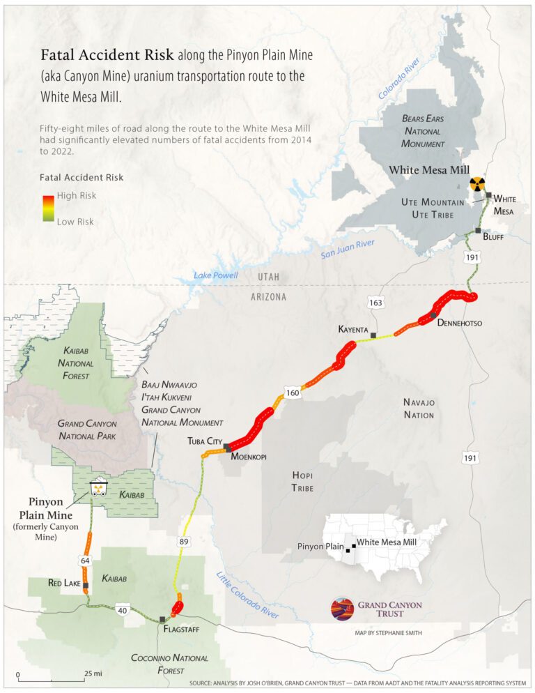
This map shows the risk of fatal accidents along the transportation route from Canyon uranium mine near the Grand Canyon to the White Mesa uranium mill.
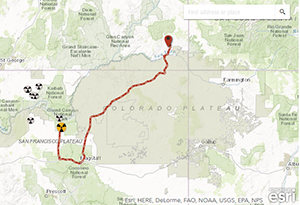
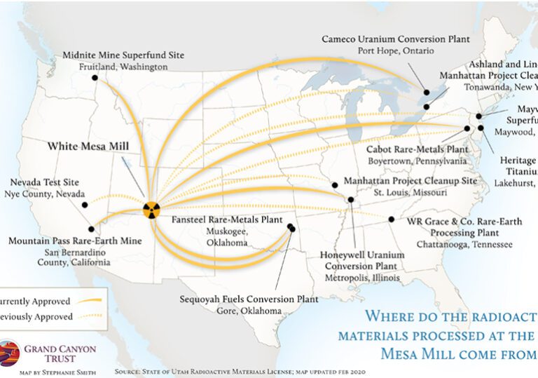
This interactive map shows the Canyon Mine (renamed Pinyon Plain Mine) haul route, from the south rim of the Grand Canyon to the White Mesa uranium mill in southern Utah.