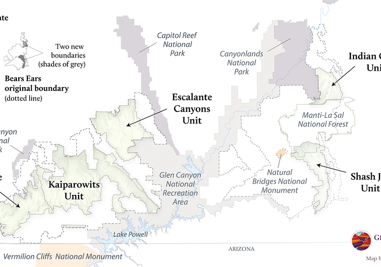
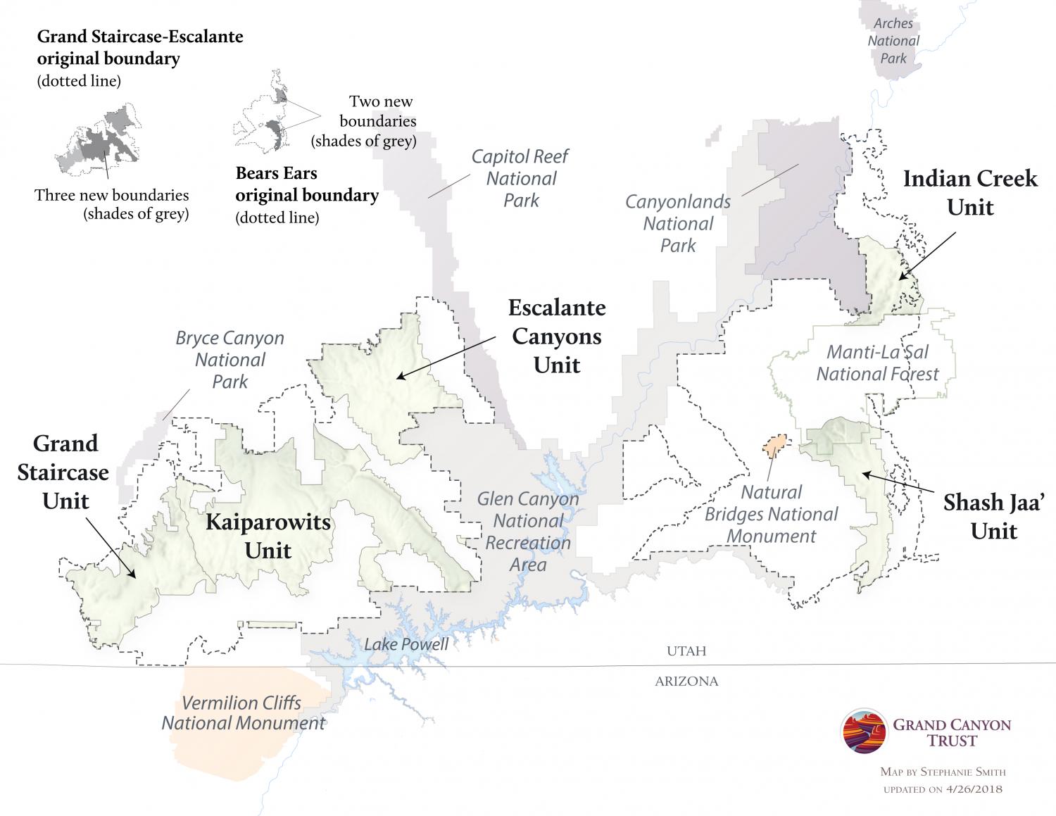
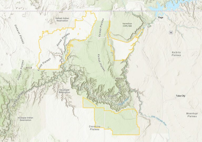
This map shows the changes to Grand Staircase-Escalante and Bears Ears national monuments.
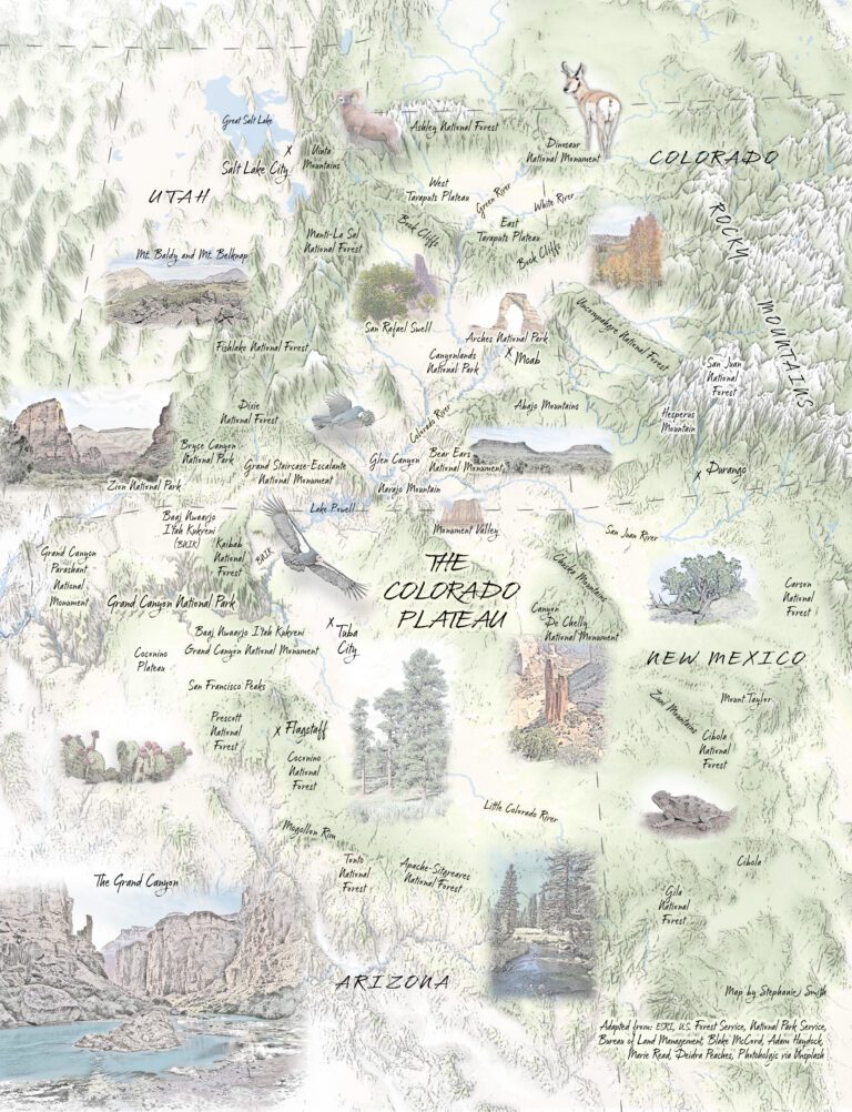
Maps and graphs may be used for non-commercial purposes provided that they are not altered or edited and they are appropriately credited.
All map products should be credited to Stephanie Smith, Grand Canyon Trust, unless otherwise noted. A hyperlink to the Grand Canyon Trust website is appreciated.
For higher quality images or custom sizing please contact our communications director, Ashley Davidson, at adavidson@grandcanyontrust.org

