This is a popup dialog that overlays the main content of the page. The popup includes a search form to help you find the information you are seeking. Pressing the close button or using the escape key will close the popup.
Resources › Monroe Mountain Aspen Stand Condition Map
Maps and graphs may be used for non-commercial purposes provided that they are not altered or edited and they are appropriately credited.
All map products should be credited to Stephanie Smith, Grand Canyon Trust, unless otherwise noted. A hyperlink to the Grand Canyon Trust website is appreciated.
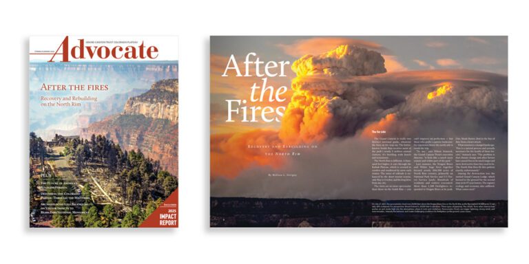
The spring 2026 edition of the Grand Canyon Trust’s Colorado Plateau Advocate magazine, with a feature on rebuilding after the Grand Canyon fires, plus the 2026 Impact Report.
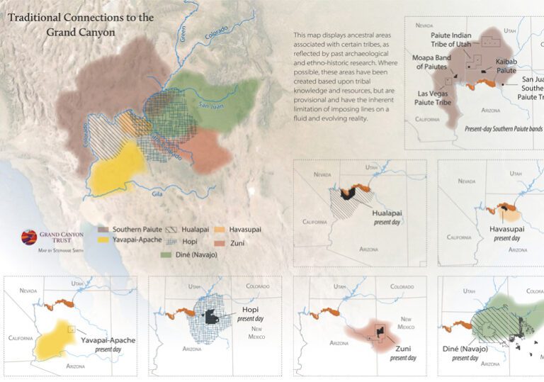
See a map of the Havasupai, Hopi, Hualapai, Navajo, Southern Paiute, Yavapai-Apache, and Zuni tribes’ traditional connections to the Grand Canyon region.