
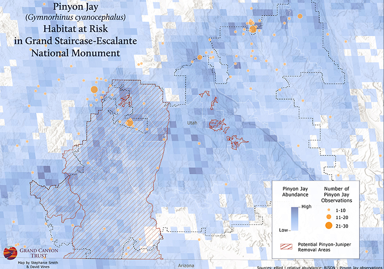
Pinyon Jays in Grand Staircase-Escalante Map

A blue checkerboard closeup of a pinyon jay abundance map

The Bureau of Land Management is proposing to tear out thousands of acres of pinyon and juniper forests in Grand Staircase-Escalante National Monument. One of the projects has been overturned, but this map shows the risk of the proposed actions to pinyon jays in the monument.
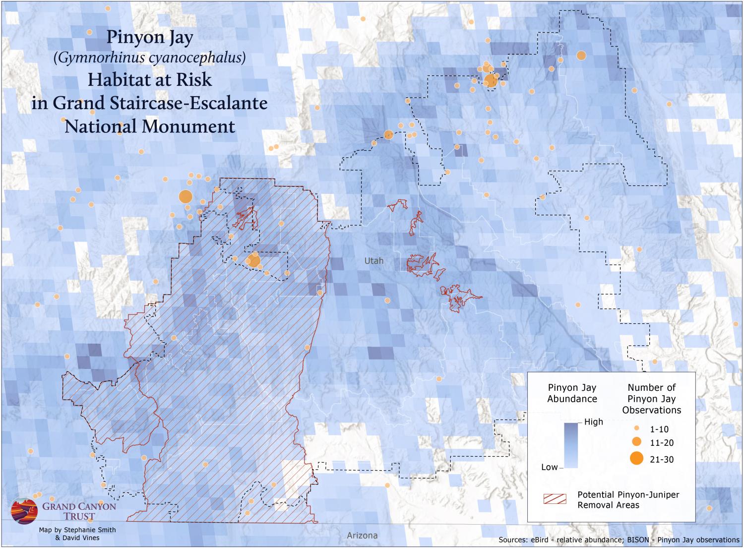
Map of Pinyon Jay abundance in Grand Staircase-Escalante National Monument.

Download a PDF of this map

Maps and graphs may be used for non-commercial purposes provided that they are not altered or edited and they are appropriately credited.

All map products should be credited to Stephanie Smith, Grand Canyon Trust, unless otherwise noted. A hyperlink to the Grand Canyon Trust website is appreciated.

For higher quality images or custom sizing please contact our communications director, Ashley Davidson, at adavidson@grandcanyontrust.org

Related Resources

Magazine cover and feature spread titled "After the Fires," showing a forest landscape and a large cloud of smoke rising over a canyon at sunset.
The spring 2026 edition of the Grand Canyon Trust’s Colorado Plateau Advocate magazine, with a feature on rebuilding after the Grand Canyon fires, plus the 2026 Impact Report.
Illustrated map of the Colorado Plateau showing major landmarks, animals, and vegetation across regions of Utah, Colorado, New Mexico, and Arizona.
The Grand Canyon Trust’s 2025 map of national monuments, national parks, landmarks, plants, and animals across the Colorado Plateau.