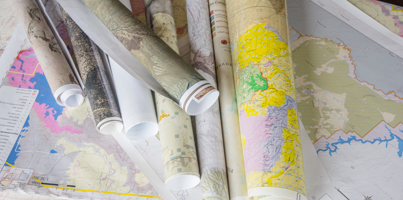
Map of the Month: meet the nerd behind the Grand Canyon Trust’s maps for an insider glimpse into the world of cartography.
 by Stephanie Smith, GIS Director
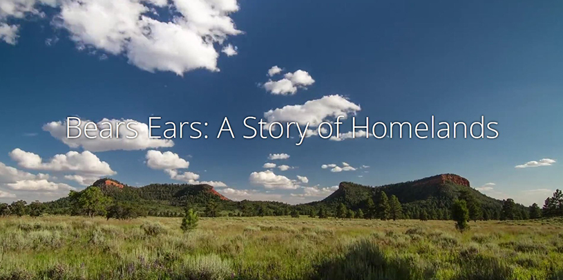
On December 28, 2016, 80 years after the first calls to protect the cultural and archaeological record at Bears Ears, President Barack Obama signed a proclamation establishing Bears Ears National Monument. It was the first time in the 110-year history of the Antiquities Act that the act was used to honor a request from tribal nations to protect their sacred sites and cultural heritage. Since that historic day, I’ve been wracking my cartographer’s brain trying to figure out just how to share the story of Bears Ears.
The story of what is now Bears Ears National Monument as the homeland of native peoples of the American Southwest begins millennia ago. For a cartographer, this presents a particular challenge. How do you map generations of cultural connections, share the stories of the land, its history, plants, animals, and people, and trace the path of one of America’s oldest homelands to long overdue protection as a national monument? Where do you even start?
A living cultural landscape
It didn’t take me long to realize no single static map was going to capture the whole story. Bears Ears is a living cultural landscape where people hunt, gather medicine, and travel to sacred sites, just as their ancestors once did, and I needed to find a format that would allow its stories to live and breathe.
A cascade of stories
Faced with this conundrum, I decided to try something new: a cascading format that allows cartographers to use maps, images, and even video footage, letting map visitors scroll through and immerse themselves in the experience, something like stepping into a virtual waterfall of stories that sweep you along with the current.
A guided tour
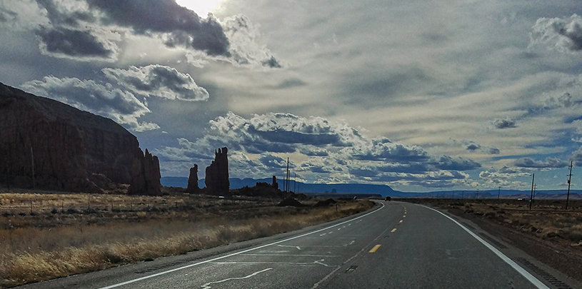
As you explore this map, you’ll feel the clouds pass overhead as you stand in a meadow below the Bears Ears Buttes and witness the night sky twinkling above just as ancient cliff dwellers once observed. It’s about as close as you can get to a guided tour of Bears Ears National Monument and the historical, scientific, and cultural wonders it protects, with words from tribal elders and leaders helping to show the way through the long journey to protection.
View Full Screen StoryBears Ears needs your help
This story map’s publication comes at a time when Interior Secretary Ryan Zinke is considering shrinking or eliminating Bears Ears National Monument. Once you know the story of Bears Ears, you understand why we can’t allow this to happen.