12.21.24 5 Maps That Give Us Hope for 2025 As 2024 draws to a close, we look back at five maps we created this year that give us hope for 2025.
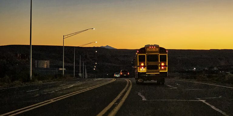
10.01.24 Uranium Haul Route Risky, Fatal Accident Data Shows Four of the five most dangerous sections of the haul route are on the Navajo Nation.
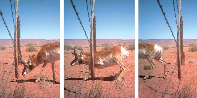
09.28.22 Mapping Pronghorn-Friendly Fences Pronghorn and barbed wire fences don’t mix, but volunteers are working to change that, one wire at a time.
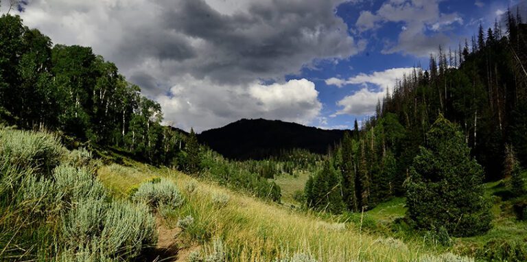
09.23.19 Mapping Pinyon Jay Habitat A behind-the-scenes look at the process of mapping where pinyon jays live in Grand Staircase-Escalante National Monument.
08.15.19 Cowtography: Mapping Where Cows Don’t Graze If the map you’re looking for doesn’t exist, collect the data and make it yourself.
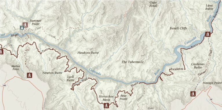
03.13.18 Grand Adventures Want to backpack in the Grand Canyon? Check out our newest map of backcountry routes.
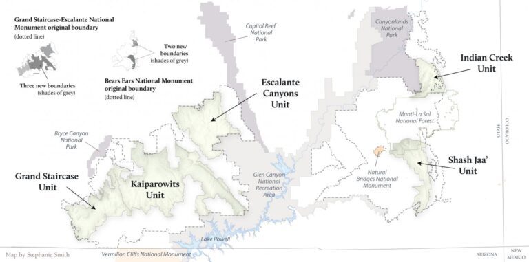
12.18.17 No Relief for Grand Staircase and Bears Ears A glimpse into mapping the slashed boundaries of Grand Staircase and Bears Ears national monuments.
10.02.17 Grand Canyon’s Secret Waters The hidden world of Grand Canyon seeps and springs and the animals, people, and cultures that rely on them.
05.18.17 Homelands: A Bears Ears Story Map Step into a virtual world of stories and explore Bears Ears National Monument.
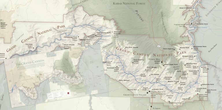
04.12.17 A New Grand Canyon National Park Map See a preview of our newest Grand Canyon National Park map!
04.05.17 Bears Ears Support from Coast to Coast Take a look at our new map showing a compelling snapshot of support from across the country.
09.07.16 A Beautiful Map for an Ugly Proposal This map highlights the proposed gigantic gondola and a slew of other structures both above and below the rim.
01.26.16 A Map for Presidential Eyes Often, maps in conservation depict the scary aspects of this world ─ but sometimes what they depict is more inspiring and hopeful.
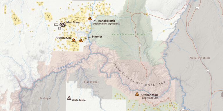
10.13.15 Map of the Month: Grand Canyon Uranium Mining What does it take to create a map of all the uranium mining claims around Grand Canyon National Park?
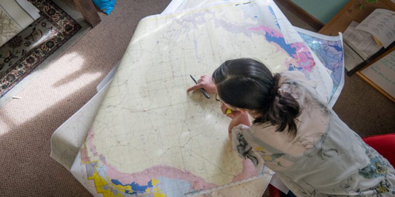
09.01.15 Map of the Month Premiere Meet the nerd behind the Trust maps for an insider glimpse into the world of cartography in this inaugural edition of our new monthly blog series.