Pinyon Plain Mine Uranium Haul Route to White Mesa Mill

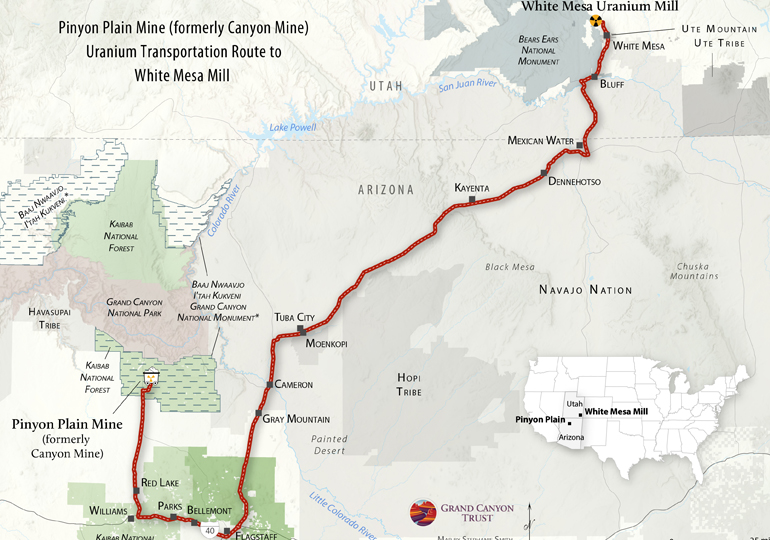
This map shows the route haul trucks will take, traveling about 300 miles through Arizona, the Navajo Nation, Utah, and the Ute Mountain Ute Reservation to deliver uranium ore mined at Canyon Mine (renamed Pinyon Plain Mine) to the White Mesa Mill for processing.
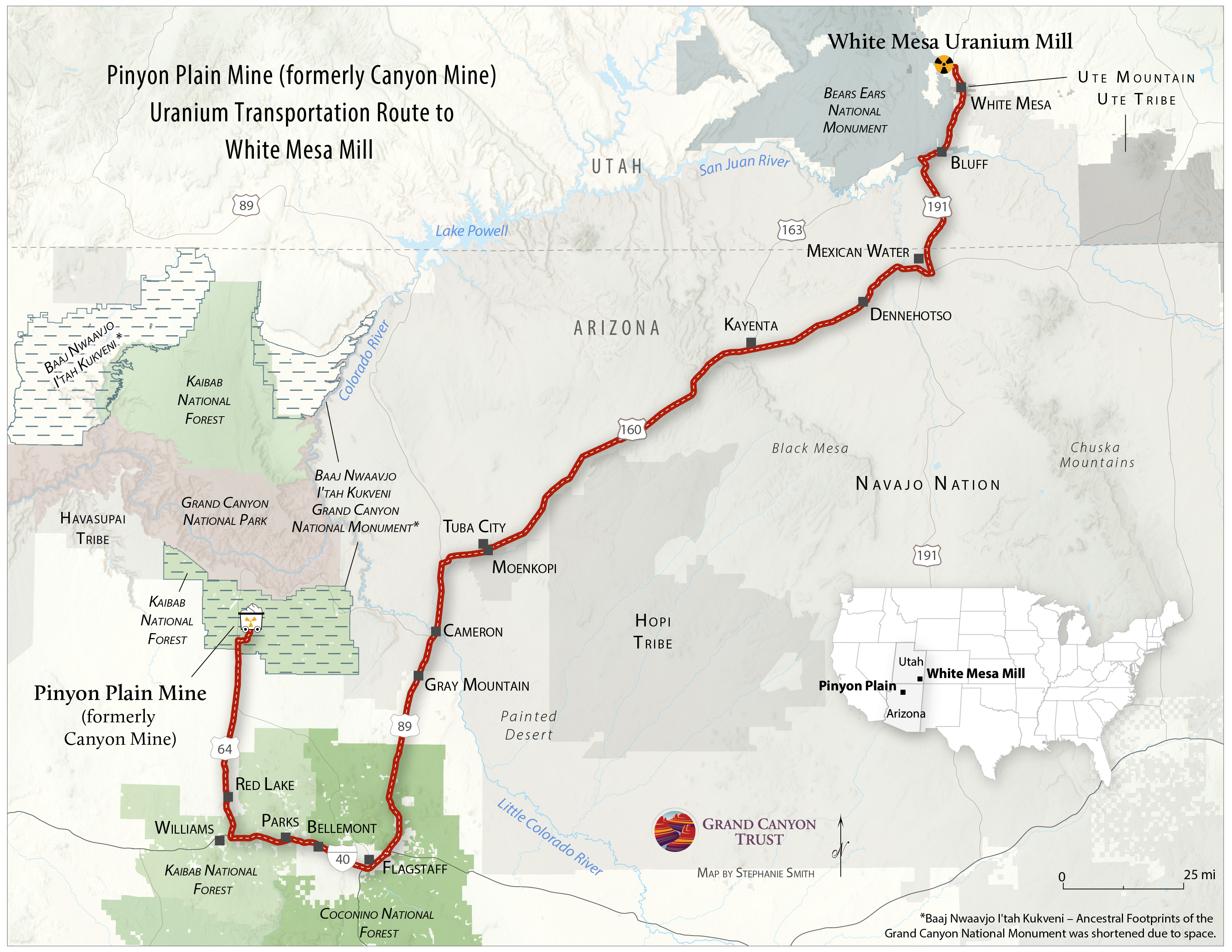
Uranium haul route from Pinyon Plain Mine to White Mesa Mill. STEPHANIE SMITH

Download your copy

See a photo gallery of the haul route, with photos and videos available for media and educational use. Download Media Assets

Maps and graphs may be used for non-commercial purposes provided that they are not altered or edited and they are appropriately credited.

All map products should be credited to Stephanie Smith, Grand Canyon Trust, unless otherwise noted. A hyperlink to the Grand Canyon Trust website is appreciated.

For higher quality images or custom sizing please contact our communications director, Ashley Davidson, at adavidson@grandcanyontrust.org

Related Resources

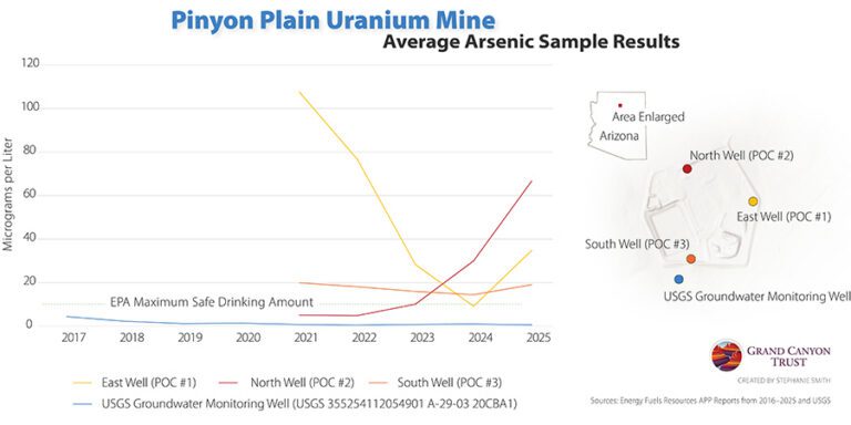
Line graph showing average arsenic levels (2017–2025) at Pinyon Plain Uranium Mine wells, with some readings exceeding EPA’s safe drinking water limit. Inset map marks well locations.
Rising arsenic levels in monitoring wells at Pinyon Plain uranium mine raise concerns about possible contamination of groundwater in the Grand Canyon region.
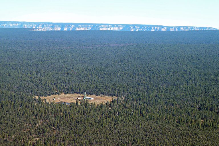
A small clearing with uranium mine buildings is surrounded by dense forest, with a distant Grand Canyon on the horizon under a clear sky.
Opponents of Pinyon Plain Mine have a right to protest under the First Amendment, and the Grand Canyon Trust fully supports anyone who chooses to lawfully exercise that right.