Map of Active Mining Claims Around Bears Ears National Monument as of February 2018

This map, showing active mining claims around Bears Ears National Monument, was produced using data from the BLM LR2000 Land & Mineral Systems Reports, downloaded in February 2018.
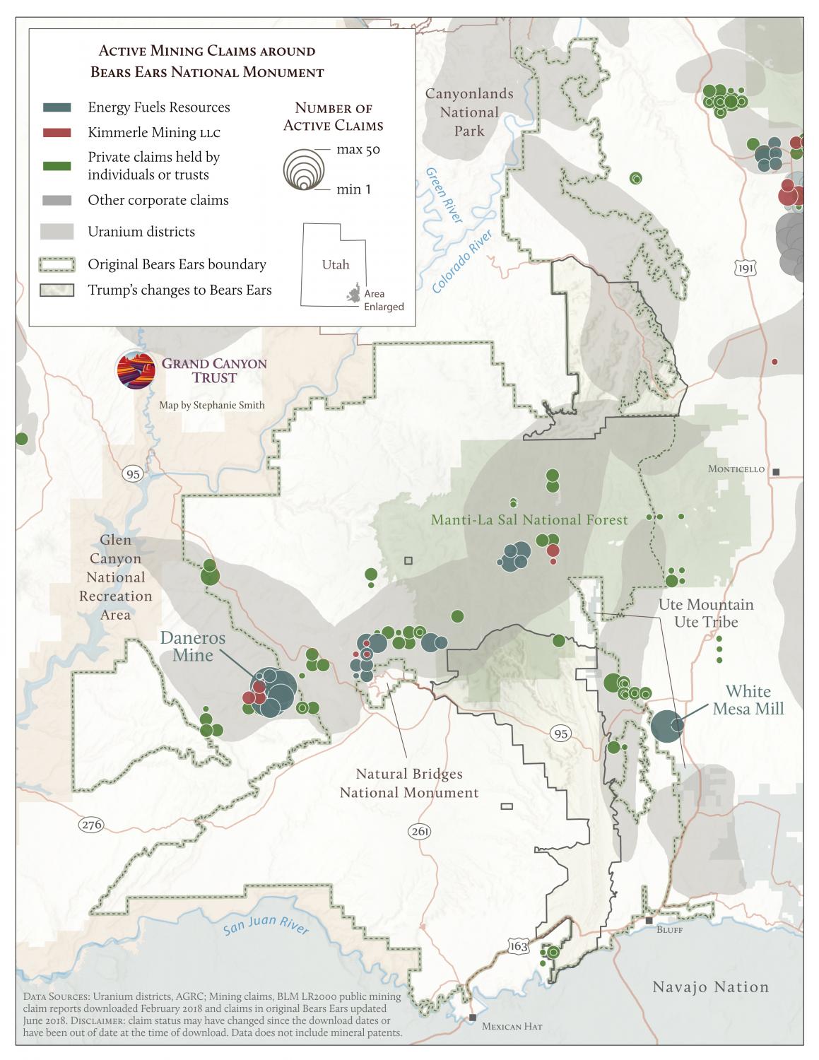
Map of active mining claims around Bears Ears with ownership dataDownload your PDF copy

Maps and graphs may be used for non-commercial purposes provided that they are not altered or edited and they are appropriately credited.

All map products should be credited to Stephanie Smith, Grand Canyon Trust, unless otherwise noted. A hyperlink to the Grand Canyon Trust website is appreciated.

For higher quality images or custom sizing please contact our communications director, Ashley Davidson, at adavidson@grandcanyontrust.org

Related Resources

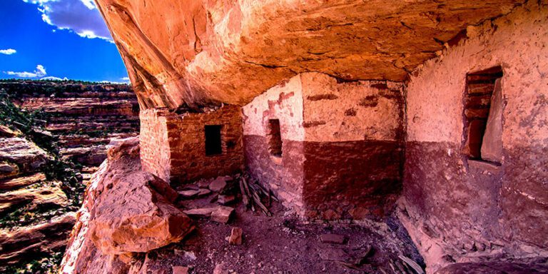
Ancient cliff dwelling built into a rocky canyon wall, with stone walls, small windows, and rubble on the ground under a bright sky—its preservation often highlighted in press releases celebrating historical discoveries.
Browse and download images of national monuments and other landscapes across the Colorado Plateau free for media use with proper credit.