This is a popup dialog that overlays the main content of the page. The popup includes a search form to help you find the information you are seeking. Pressing the close button or using the escape key will close the popup.
Resources
From maps and fact sheets to scientific data and issue briefs – the most vital information about the issues you care about, at your fingertips.
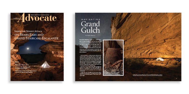
The fall 2026 edition of the Grand Canyon Trust’s Colorado Plateau Advocate magazine, with a feature on the cuts to Bears Ears and Grand Staircase-Escalante national monuments.
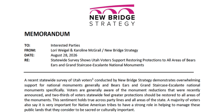
An August 2026 poll of 500 Utah voters found strong support for national monuments, including Bears Ears and Grand Staircase-Escalante national monuments.
Donating stocks, bonds, or mutual funds to the Grand Canyon Trust is a tax-wise and simple way to help safeguard the Grand Canyon and the entire Colorado Plateau.
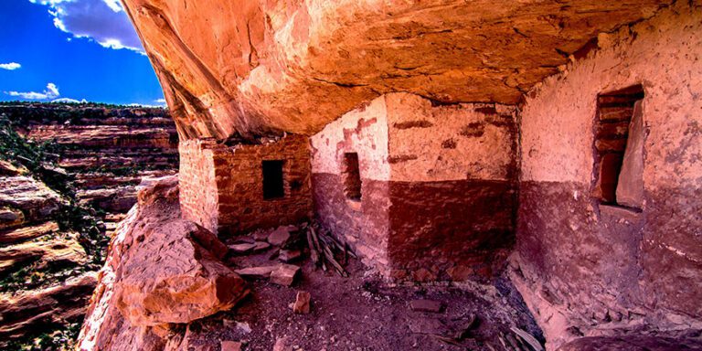
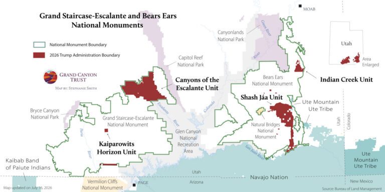
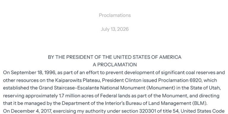
On July 13, 2026, President Trump issued a new proclamation cutting Grand Staircase-Escalante National Monument by 90% and eliminating a landmark co-stewardship framework for the monument.
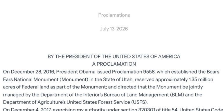
On July 13, 2026, President Trump issued a new proclamation cutting Bears Ears National Monument by 91% and eliminating a historic cooperative agreement with the five tribes of the Bears Ears Commission.
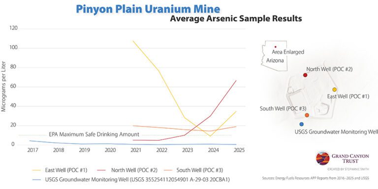
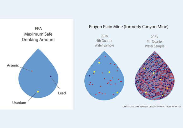
Rising arsenic levels in monitoring wells at Pinyon Plain uranium mine raise concerns about possible contamination of groundwater in the Grand Canyon region.
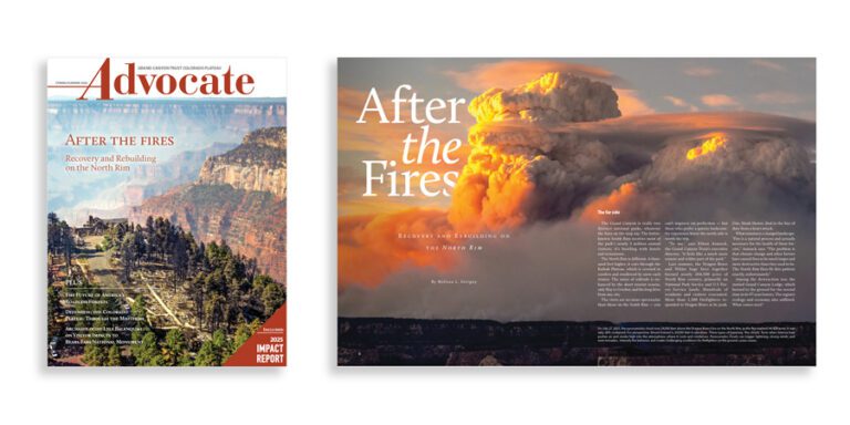
The spring 2026 edition of the Grand Canyon Trust’s Colorado Plateau Advocate magazine, with a feature on rebuilding after the Grand Canyon fires, plus the 2026 Impact Report.
Rick Goldwasser
Grand Canyon Conservation Support the Trust and protect the Grand Canyon
Your donation funds on-the-ground conservation efforts and advocacy work.