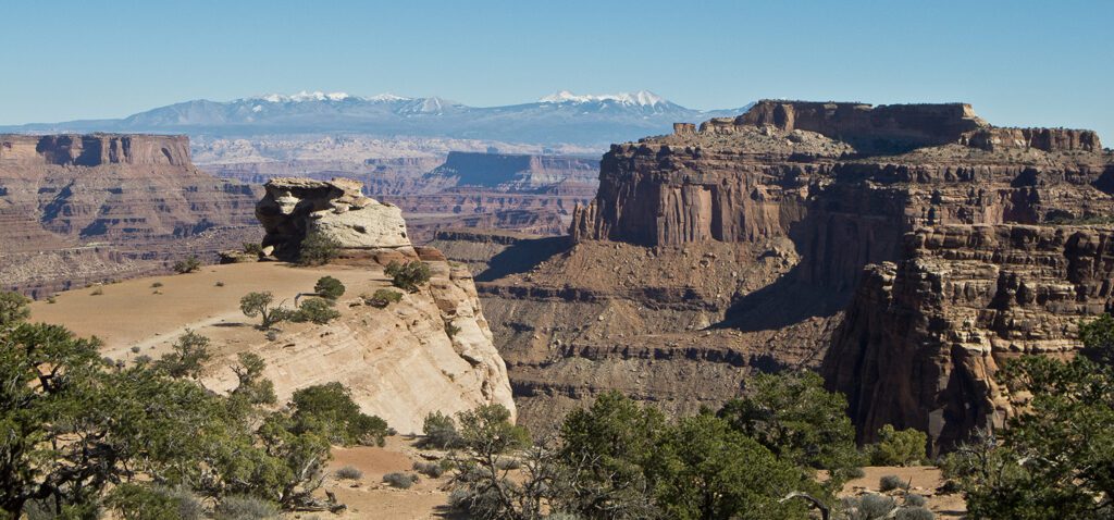
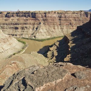
The Neck Spring Loop Trail in Canyonlands National Park passes several springs and great vistas
Hike around the edge of the “Island in the Sky” in Canyonlands National Park.
Note: This description is for hiking the loop counterclockwise.
The trail leaves from the west side of the parking lot, drops down a small hill, and crosses the highway. It turns right and goes along the rim until it reaches a long-abandoned road, where it drops about 200 feet into a basin with scattered piñon trees, yucca, and blackbrush. Cryptobiotic soil crust is well established in many places along this trail and is very important in the arid Southwest, keeping the wind from blowing away the soil. This protective crust is also very fragile (footprints can last decades), so please stay on the trail.
After crossing the basin, you follow the base of a cliff toward a deep alcove. You can see the highway guardrail along the rim above the alcove, but traffic noise is minimal. A bit before the alcove, you reach the weathered remains of an old watering trough on the left side of the trail that was fed by an unnamed spring. The trail continues past several more alcoves.
Neck Spring
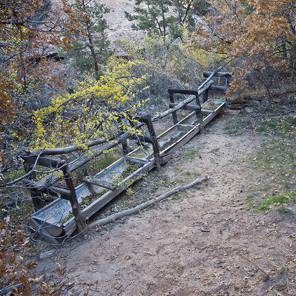
You will know you’ve reached Neck Spring (1.4 miles) when you see a second watering trough with a curved metal bottom. A pipe from the spring runs into one end of the trough, but it no longer functions. The spring itself is farther into the alcove, but dense vegetation makes it difficult to reach.
These springs, and the narrow spot called the Neck where the highway crosses to the plateau called Island in the Sky, played an important role in the early days of cattle ranching. The springs themselves provided precious water, but there was also a simple fence about 40 feet long that kept cattle from leaving the 43-square-mile plateau where they grazed until 1975.
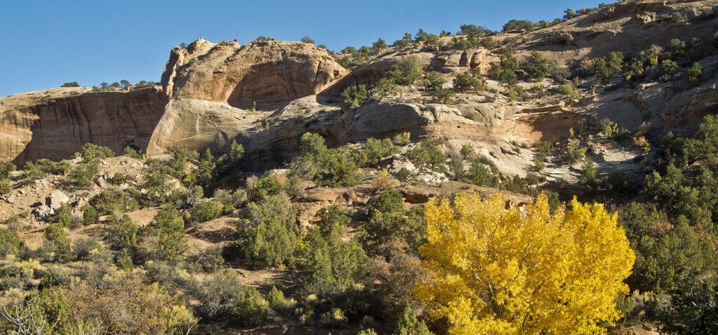
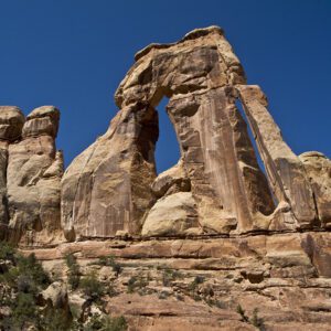
After leaving Neck Spring, the trail meanders up and down hills and in and out of small drainages as it works its way across sandy benches stippled with cryptobiotic soil. Views into Taylor Canyon become more expansive, and in about three-fourths of a mile from Neck Spring, you reach a nice overlook on the right side of the trail. A few hundred feet past the overlook, keep an open eye for a stout arch part way up the north wall of Taylor Canyon.
Cabin Spring
In another 0.2 mile, you reach a deep tributary canyon, where the trail goes right and passes the remains of an old fence.
At 3.2 miles the trail crosses the creek bottom, which may have water flowing in it, then it aggressively climbs out of the canyon by going up several ledges and steep slickrock ramps. Look for cairns on the slickrock. At the top, the trail cuts left and follows the rim to another old watering trough. Unlike Neck Spring where the cattle were taken down to the spring, here the water was pumped up to the trough. A hundred feet or so past the trough you can see grooves that were worn in the rock by steel cables and the remains of an old hoist, which was likely used to lower the pump, fuel, and other supplies to the bottom of the canyon.
Back on top
After the trail leaves the hoist, it strikes eastward across a grassy area that is the northern edge of Gray’s Pasture. In a quarter mile or less, you cross several large, flat, slickrock slabs. This is another spot where you need to keep your eyes open for cairns. The trail returns to the rim and follows the lip of the alcove where Neck Springs is located. Within a hundred yards, you cross the highway, and the trail then curves left back toward the trailhead. The trail parallels the highway for the next mile, but it is far enough away that the traffic is not too bothersome. However, when you cross the Neck you will be walking next to the guardrail, but you quickly reach the Shafer Overlook parking lot and your vehicle.
Directions
From Moab, drive 10 miles north on U.S. Highway 191 to the junction with Utah Highway 313, turn left and drive 22 miles to the Island in the Sky Visitor Center. The trailhead is at the Shafer Canyon Overlook parking lot, 0.8 mile south of the visitor center. Backcountry camping requires a permit. Find out how to navigate the permit system